Channel & Berth Profile
Pilotage, Tugs & Services
Pilotage compulsoryYES
Facilities & Capabilities
Container—
Ro-Ro—
Liquid bulk—
Dry bulk—
Oil terminal—
Break bulk—
Dry dock—
Repairs—
BunkeringYES
Rail link—
Dangerous cargo—
ISPS security—
Harbour Specifications
Harbour size
Very Small
Harbour type
Coastal (Natural)
Shelter
Fair
Water body
Celebes Sea; North Pacific Ocean
Pilotage
Yes
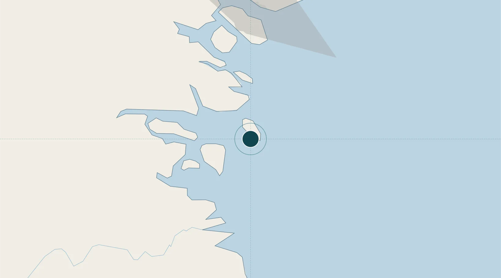
Location
Nearby Logistics Neighbours
Ports
- 1Tawa87 km
- 2Mostyn143 km
- 3Lahad Datu181 km
- 4Bakapit185 km
- 5Pelabuhan Sandakan265 km
Cities
- 1Tarakan, Kalimantan34 km
- 2Tawau, Sabah87 km
- 3Bantul136 km
- 4Labuan Haji144 km
- 5Mangkajang149 km
Airports
- 1Juwata International Airport / Suharnoko Harbani AFB34 km
- 2Tanjung Harapan Airport87 km
- 3Tawau Airport99 km
- 4Robert Atty Bessing135 km
- 5Kalimarau Airport153 km
Trade Zones
DatabookThe Record of Consolidated Knowledge
Indonesia beyond logistics?