UN/LOCODE hub · Malaysia
MYLDU
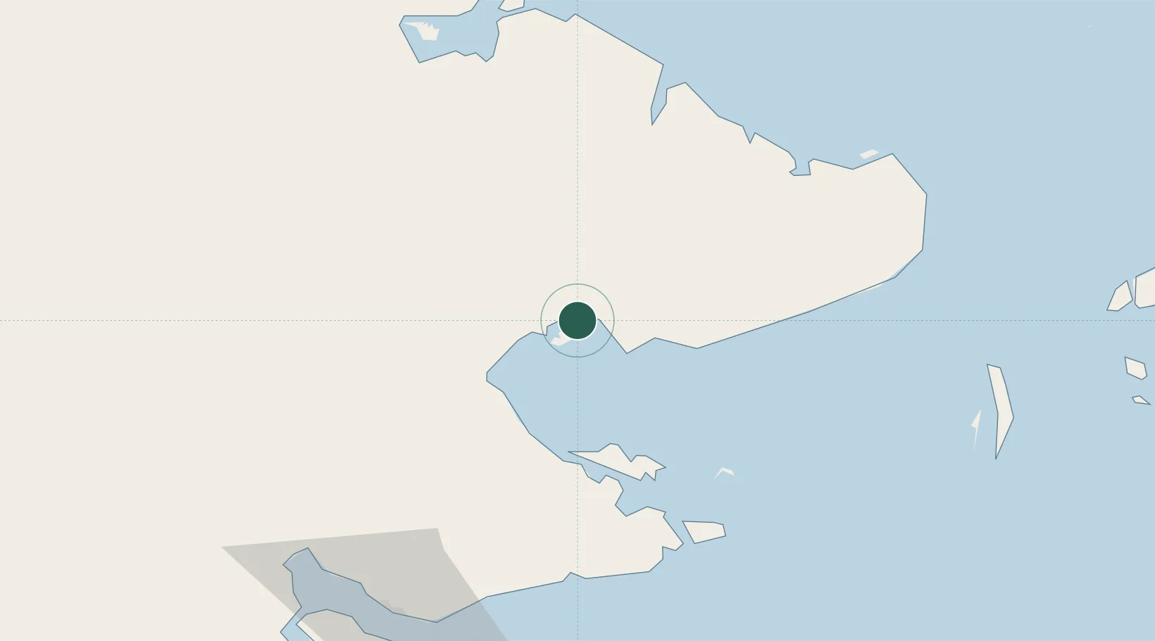
Lahad Datu, Sabah
5.0169°, 118.3711°
2
Transport functions
1
Container terminals
Transport Functions
Port
Airport
Hub Profile
Logistics facilities
2
Container terminals
1
Location
Nearby Logistics Neighbours
Cities
- 1Labuan Haji66 km
- 2Sabahat74 km
- 3Sandakan, Sabah95 km
- 4Tawau, Sabah101 km
- 5Beluran, Sabah132 km
Ports
- 1Bakapit25 km
- 2Mostyn39 km
- 3Pelabuhan Sandakan95 km
- 4Tawa101 km
- 5Tanjung Arang (Bunyu)182 km
Airports
- 1Lahad Datu Airport6 km
- 2Tomanggong Airport53 km
- 3Tawau Airport83 km
- 4Sandakan Airport104 km
- 5Sanga Sanga Airport152 km
Trade Zones
- 1Sabah Development Corridor274 km
- 2Labuan Offshore Financial Centre347 km
- 3Muara Export Zone366 km
- 4Terunjing Free Trade Zone366 km
- 5Rio Tuba Export Processing Zone405 km
DatabookThe Record of Consolidated Knowledge
Malaysia beyond logistics?