Medium airport · Malaysia
Tawau AirportWBKW
4.3134°, 118.1215°
8,800 ft
Longest runway
1
Runways
57 ft
Elevation
Runway & Layout

Radio Frequencies
TWR
122.5 MHz
GND
121.9 MHz
APP
123.55 MHz
Navaids
TWU NDB Tawau 278 kHz
VTW VOR-DME Tawau 115.60 MHz
Runways · 1
| Runway | Dimensions | Surface | True heading | Lit |
|---|---|---|---|---|
| 06/24 | 8,800 × 155ft | Asphalt | 058° | ✓ |
Airport Specifications
IATA code
TWU
ICAO code
WBKW
Airport class
Medium airport
Scheduled service
Yes
Runway surface
Asphalt
Served city
Tawau
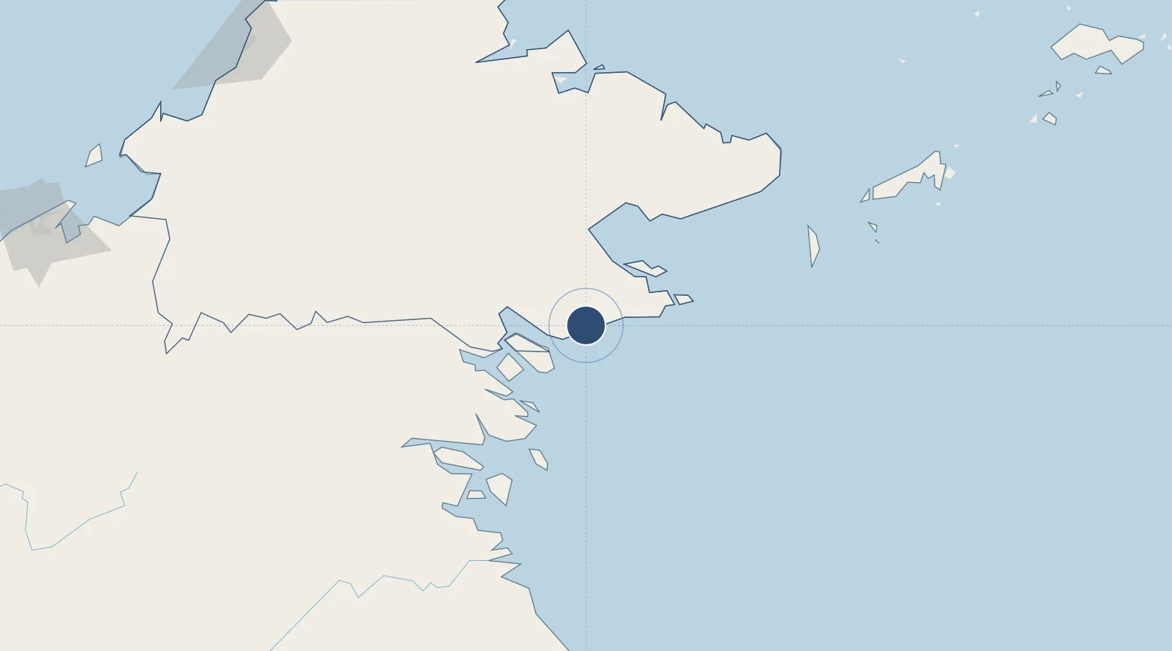
Location
Nearby Logistics Neighbours
Airports
- 1Lahad Datu Airport83 km
- 2Juwata International Airport / Suharnoko Harbani AFB126 km
- 3Tomanggong Airport135 km
- 4Sandakan Airport177 km
- 5Tanjung Harapan Airport184 km
Cities
- 1Tawau, Sabah26 km
- 2Labuan Haji60 km
- 3Lahad Datu, Sabah83 km
- 4Bunyu97 km
- 5Tarakan, Kalimantan129 km
Ports
- 1Tawa27 km
- 2Mostyn44 km
- 3Lahad Datu81 km
- 4Bakapit87 km
- 5Tanjung Arang (Bunyu)99 km
Trade Zones
- 1Sabah Development Corridor290 km
- 2Labuan Offshore Financial Centre336 km
- 3Muara Export Zone347 km
- 4Terunjing Free Trade Zone347 km
- 5Muara Wahau Industrial Park367 km
DatabookThe Record of Consolidated Knowledge
Malaysia beyond logistics?