UN/LOCODE hub · Malaysia
MYLBH

Labuan Haji

4.4833°, 118.6333°
1
Transport functions

Transport Functions

Port
UN/LOCODE

Hub Profile

Region
12
GeoNames

Location

Location of MYLBH
Natural Earth 10m (public domain) · 12 · MYLBH · 4.48, 118.63GoogleOSMYandex

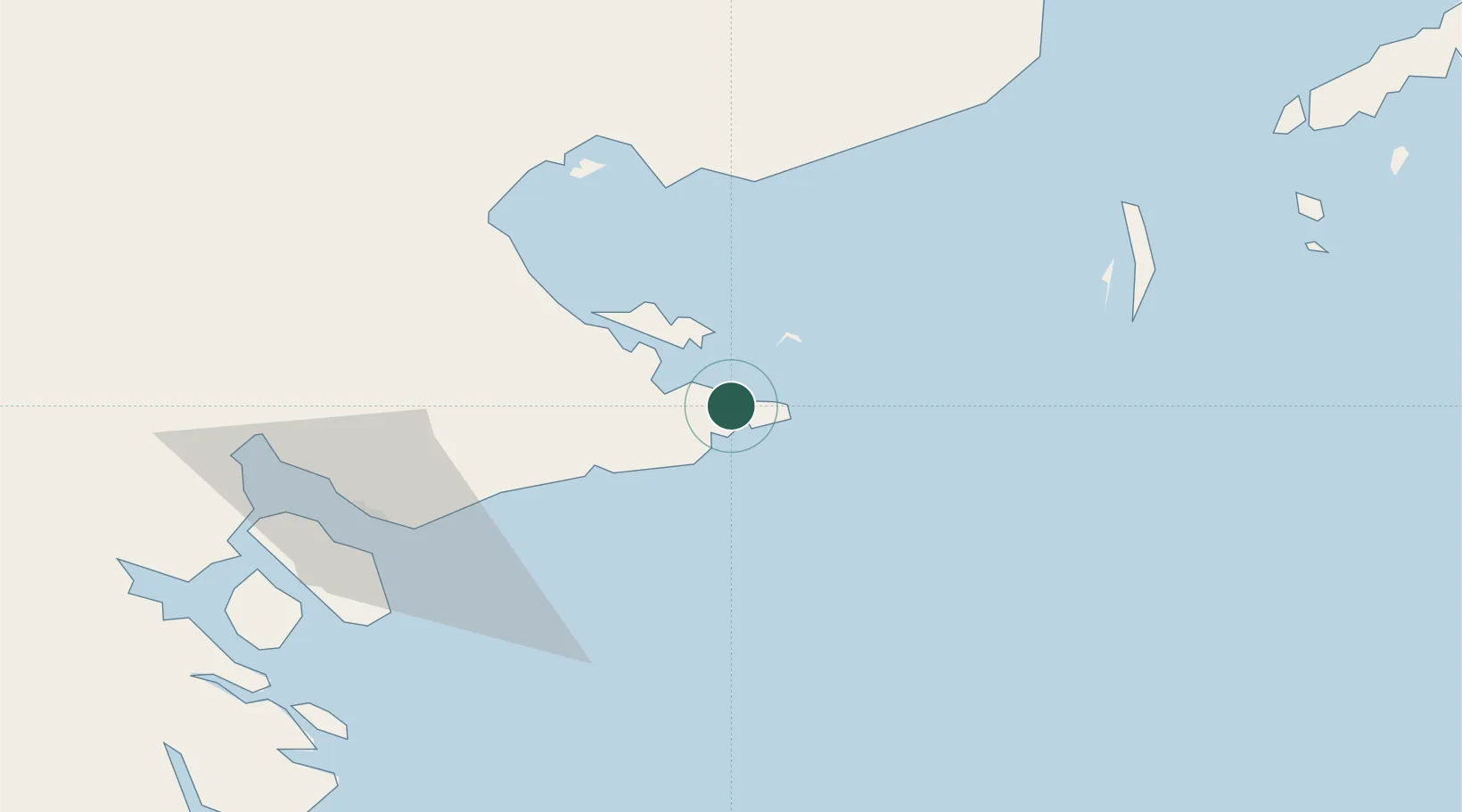
Nearby Logistics Neighbours

Cities
  1. 1Lahad Datu, Sabah66 km
  2. 2Sabahat79 km
  3. 3Tawau, Sabah86 km
  4. 4Bunyu143 km
  5. 5Sandakan, Sabah161 km
Nearest neighbours — logibook spatial index (haversine) over the source coordinates
Ports
  1. 1Mostyn48 km
  2. 2Bakapit52 km
  3. 3Lahad Datu69 km
  4. 4Tawa87 km
  5. 5Tanjung Arang (Bunyu)144 km
Nearest neighbours — logibook spatial index (haversine) over the source coordinates
Airports
  1. 1Tawau Airport60 km
  2. 2Lahad Datu Airport70 km
  3. 3Tomanggong Airport102 km
  4. 4Sanga Sanga Airport138 km
  5. 5Sandakan Airport170 km
Nearest neighbours — logibook spatial index (haversine) over the source coordinates
Trade Zones
  1. 1Sabah Development Corridor326 km
  2. 2Labuan Offshore Financial Centre385 km
  3. 3Muara Export Zone400 km
  4. 4Terunjing Free Trade Zone400 km
  5. 5Muara Wahau Industrial Park413 km
Nearest neighbours — logibook spatial index (haversine) over the source coordinates
DatabookThe Record of Consolidated Knowledge
Malaysia beyond logistics?
Browse databook

All Sources

LocationsUN/LOCODE
UN/LOCODE — free
Portsthe NGA World Port Index
Public domain (US gov)
AirportsOurAirports
Public domain
Trade Zonesthe World Bank SEZ database
CC BY 4.0
Trade ZonesOpen Zone Map
CC BY
← Malaysia locations