Runway & Layout

Airport Specifications
IATA code
LNU
ICAO code
WAQM
Airport class
Small airport
Scheduled service
Yes
Served city
Malinau
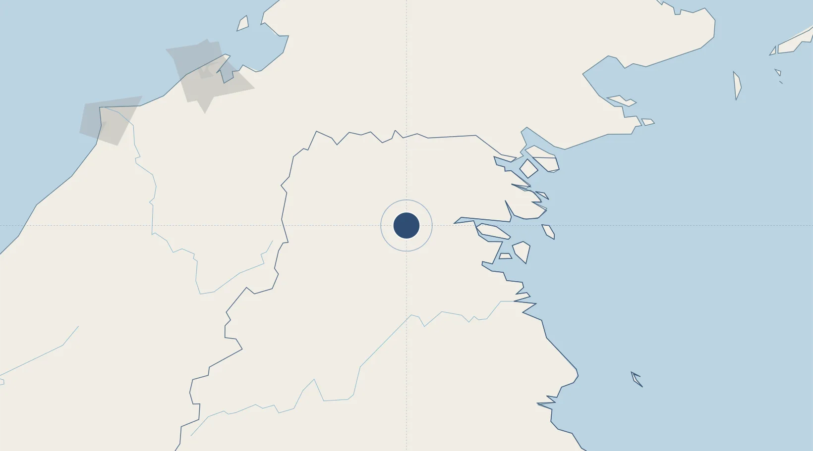
Location
Nearby Logistics Neighbours
Airports
- 1Long Rungan86 km
- 2Juwata International Airport / Suharnoko Harbani AFB108 km
- 3Yuvai Semaring Airport109 km
- 4Tanjung Harapan Airport117 km
- 5Bakalalan Airport120 km
Cities
- 1Bantul68 km
- 2Tarakan, Kalimantan112 km
- 3Bunyu131 km
- 4Tawau, Sabah160 km
- 5Batu Batu, Sabah178 km
Ports
- 1Tanjung Arang (Bunyu)135 km
- 2Tawa159 km
- 3Mostyn219 km
- 4Muara Harbor237 km
- 5Bandar Seri Begawan241 km
Trade Zones
- 1Muara Export Zone236 km
- 2Terunjing Free Trade Zone236 km
- 3Muara Wahau Industrial Park239 km
- 4Labuan Offshore Financial Centre243 km
- 5Sabah Development Corridor269 km
DatabookThe Record of Consolidated Knowledge
Indonesia beyond logistics?