Medium airport · Indonesia

Juwata International Airport / Suharnoko Harbani AFBWALR
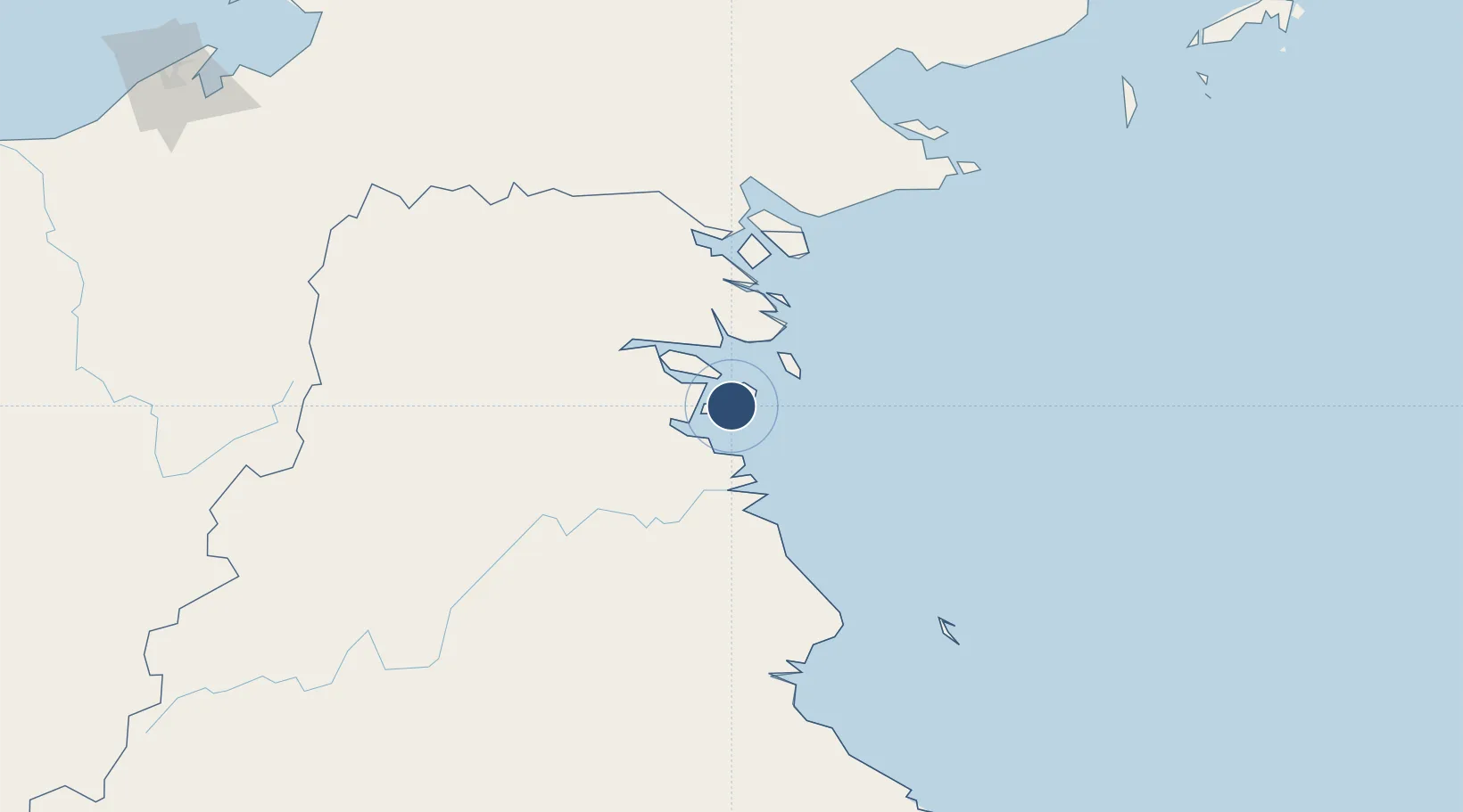
3.3251°, 117.5642°
7,382 ft
Longest runway
1
Runways
23 ft
Elevation

Runway & Layout

Juwata International Airport / Suharnoko Harbani AFB runway & taxiway layout
Runway & taxiway layout — OpenStreetMap (ODbL) / OurAirports

Radio Frequencies

TWR
118.1 MHz
JUWATA TWR
APP
125.5 MHz
TARAKAN APP
OurAirports

Runways · 1

RunwayDimensions SurfaceTrue headingLit
06/24 7,382 × 147ft Asphalt 056°
OurAirports

Airport Specifications

IATA code
TRK
OurAirports
ICAO code
WAQQ
OurAirports
Airport class
Medium airport
OurAirports
Scheduled service
Yes
OurAirports
Runway surface
Asphalt
OurAirports
Served city
Tarakan
OurAirports

Location

Location of WALR
Natural Earth 10m (public domain) · Kalimantan Timur · WALR · 3.33, 117.56GoogleOSMYandex

Nearby Logistics Neighbours

Airports
  1. 1Tanjung Harapan Airport58 km
  2. 2Robert Atty Bessing108 km
  3. 3Tawau Airport126 km
  4. 4Kalimarau Airport132 km
  5. 5Long Rungan194 km
Nearest neighbours — logibook spatial index (haversine) over the source coordinates
Cities
  1. 1Tarakan, Kalimantan5 km
  2. 2Bunyu33 km
  3. 3Tawau, Sabah109 km
  4. 4Bantul124 km
  5. 5Mangkajang134 km
Nearest neighbours — logibook spatial index (haversine) over the source coordinates
Ports
  1. 1Tanjung Arang (Bunyu)34 km
  2. 2Tawa109 km
  3. 3Mostyn169 km
  4. 4Lahad Datu206 km
  5. 5Bakapit213 km
Nearest neighbours — logibook spatial index (haversine) over the source coordinates
Trade Zones
  1. 1Muara Wahau Industrial Park241 km
  2. 2Maloy Batuta Trans Kalimantan Special Economic Zone282 km
  3. 3Sabah Development Corridor334 km
  4. 4Delma Industrial Park335 km
  5. 5Muara Export Zone335 km
Nearest neighbours — logibook spatial index (haversine) over the source coordinates
DatabookThe Record of Consolidated Knowledge
Indonesia beyond logistics?
Browse databook

All Sources

AirportsOurAirports
Public domain
Portsthe NGA World Port Index
Public domain (US gov)
LocationsUN/LOCODE
UN/LOCODE — free
Trade Zonesthe World Bank SEZ database
CC BY 4.0
Trade ZonesOpen Zone Map
CC BY
InfrastructureOpenStreetMap
ODbL 1.0
← Indonesia airports