UN/LOCODE hub · Malaysia
MYBRU

Pulau Bruit

2.5833°, 111.3333°
1
Transport functions

Transport Functions

Port
UN/LOCODE

Hub Profile

Region
13
GeoNames

Location

Location of MYBRU
Natural Earth 10m (public domain) · 13 · MYBRU · 2.58, 111.33GoogleOSMYandex

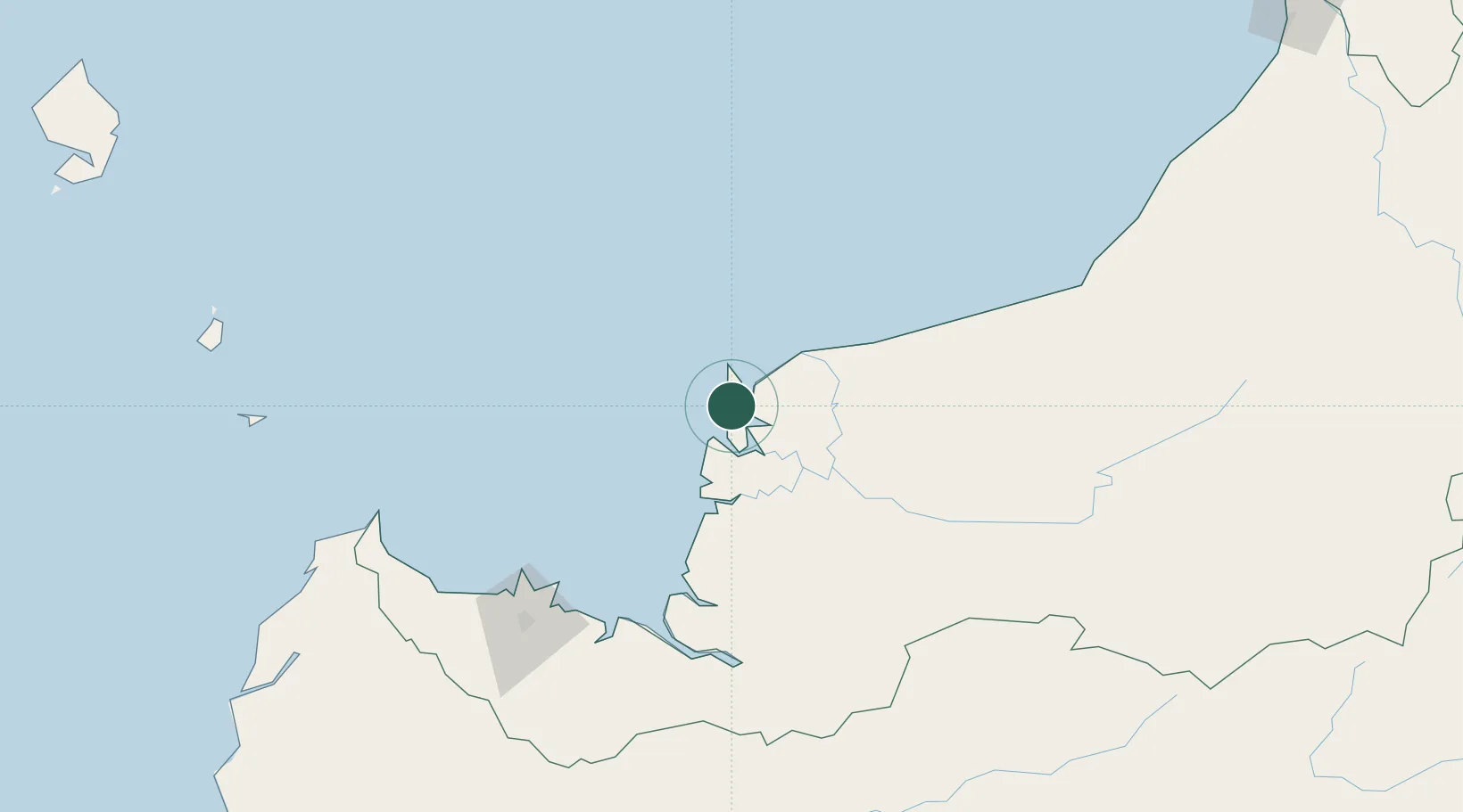
Nearby Logistics Neighbours

Cities
  1. 1Tanjung Manis47 km
  2. 2Sarikei56 km
  3. 3Sungai Merah62 km
  4. 4Sibu, Sarawak65 km
  5. 5Samu117 km
Nearest neighbours — logibook spatial index (haversine) over the source coordinates
Ports
  1. 1Tg. Mani48 km
  2. 2Sarikei55 km
  3. 3Bintangor57 km
  4. 4Sibu63 km
  5. 5Kuching157 km
Nearest neighbours — logibook spatial index (haversine) over the source coordinates
Airports
  1. 1Sibu Airport81 km
  2. 2Mukah Airport86 km
  3. 3Kuching International Airport164 km
  4. 4Bintulu Airport197 km
  5. 5Pangsuma Airport264 km
Nearest neighbours — logibook spatial index (haversine) over the source coordinates
Trade Zones
  1. 1Sarawak Corridor Of Renewable Energy154 km
  2. 2Sama Jaya Free Industrial Zone157 km
  3. 3Mas Cargo Free Zone, Penang352 km
  4. 4Kawasan Industri Suge420 km
  5. 5Muara Export Zone496 km
Nearest neighbours — logibook spatial index (haversine) over the source coordinates
DatabookThe Record of Consolidated Knowledge
Malaysia beyond logistics?
Browse databook

All Sources

LocationsUN/LOCODE
UN/LOCODE — free
Portsthe NGA World Port Index
Public domain (US gov)
AirportsOurAirports
Public domain
Trade Zonesthe World Bank SEZ database
CC BY 4.0
Trade ZonesOpen Zone Map
CC BY
← Malaysia locations