Transport Functions
Port
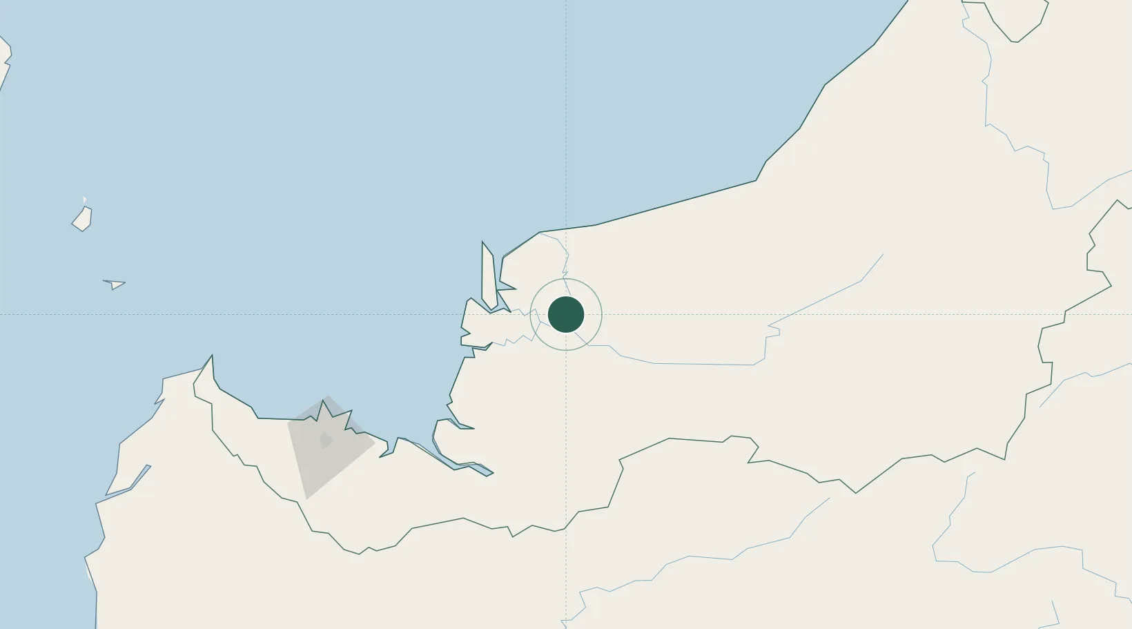
Hub Profile
Place type
Populated place
Region
Sarawak
Time zone
Asia/Kuching
Elevation
8 m
Location
Nearby Logistics Neighbours
Cities
- 1Sibu, Sarawak6 km
- 2Sarikei43 km
- 3Tanjung Manis58 km
- 4Pulau Bruit62 km
- 5Samu93 km
Ports
- 1Sibu6 km
- 2Bintangor29 km
- 3Sarikei40 km
- 4Tg. Mani57 km
- 5Bintulu Port172 km
Airports
- 1Sibu Airport19 km
- 2Mukah Airport65 km
- 3Bintulu Airport158 km
- 4Kuching International Airport190 km
- 5Pangsuma Airport207 km
Trade Zones
- 1Sarawak Corridor Of Renewable Energy181 km
- 2Sama Jaya Free Industrial Zone183 km
- 3Mas Cargo Free Zone, Penang326 km
- 4Muara Export Zone468 km
- 5Terunjing Free Trade Zone468 km
DatabookThe Record of Consolidated Knowledge
Malaysia beyond logistics?