Transport Functions
Port
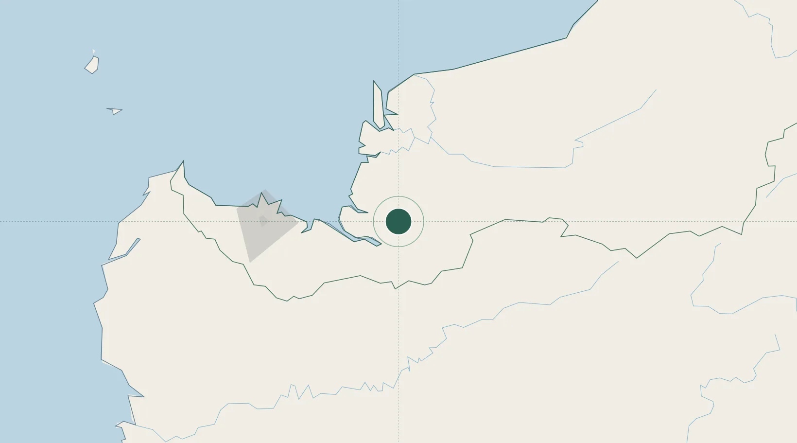
Hub Profile
Place type
Populated place
Region
Sarawak
Time zone
Asia/Kuching
Elevation
51 m
Location
Nearby Logistics Neighbours
Cities
- 1Sungai Nibong39 km
- 2Sarikei63 km
- 3Sebuyau67 km
- 4Tanjung Manis71 km
- 5Sibu, Sarawak88 km
Airports
- 1Sibu Airport94 km
- 2Kuching International Airport131 km
- 3Mukah Airport159 km
- 4Susilo Airport165 km
- 5Pangsuma Airport176 km
Trade Zones
- 1Sama Jaya Free Industrial Zone126 km
- 2Sarawak Corridor Of Renewable Energy126 km
- 3Mas Cargo Free Zone, Penang412 km
- 4Kawasan Industri Suge465 km
- 5Muara Export Zone551 km
DatabookThe Record of Consolidated Knowledge
Malaysia beyond logistics?