UN/LOCODE hub · Malaysia
MYSBW
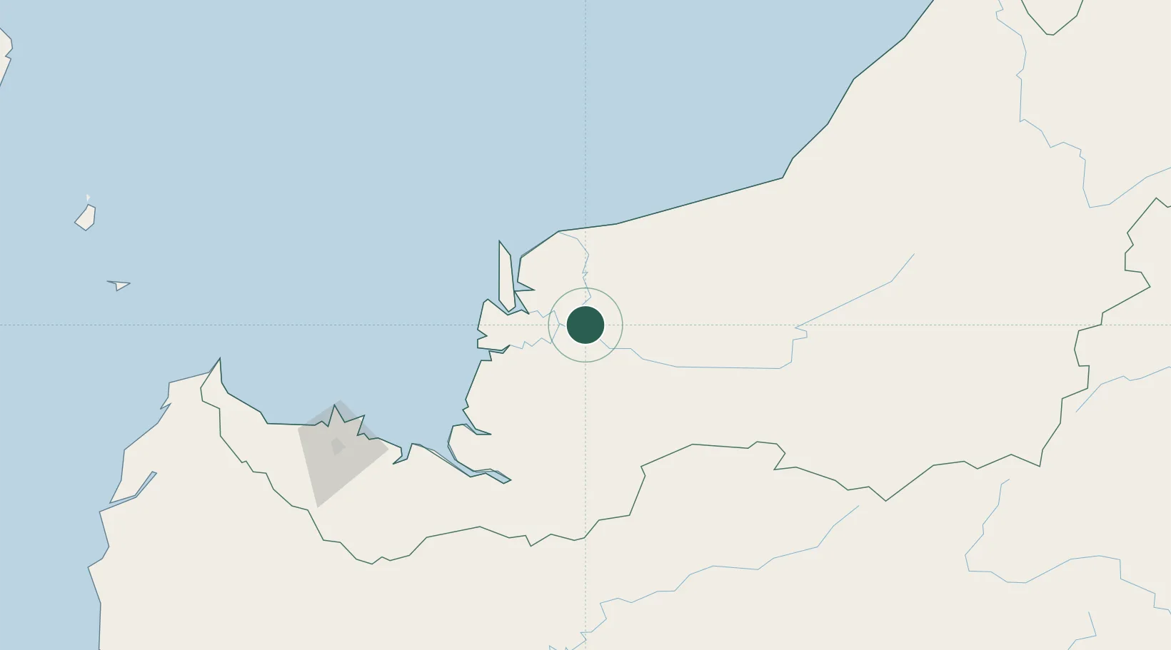
Sibu, Sarawak
2.2815°, 111.8299°
2
Transport functions
1
Container terminals
Transport Functions
Port
Airport
Hub Profile
Logistics facilities
7
Container terminals
1
Location
Nearby Logistics Neighbours
Cities
- 1Sungai Merah6 km
- 2Sarikei39 km
- 3Tanjung Manis56 km
- 4Pulau Bruit65 km
- 5Samu88 km
Ports
- 1Bintangor25 km
- 2Sarikei37 km
- 3Tg. Mani55 km
- 4Bintulu Port176 km
- 5Kuching183 km
Airports
- 1Sibu Airport17 km
- 2Mukah Airport71 km
- 3Bintulu Airport162 km
- 4Kuching International Airport186 km
- 5Pangsuma Airport203 km
Trade Zones
- 1Sarawak Corridor Of Renewable Energy178 km
- 2Sama Jaya Free Industrial Zone180 km
- 3Mas Cargo Free Zone, Penang330 km
- 4Muara Export Zone472 km
- 5Terunjing Free Trade Zone472 km
DatabookThe Record of Consolidated Knowledge
Malaysia beyond logistics?