Medium airport · Malaysia
Bintulu AirportWBGB
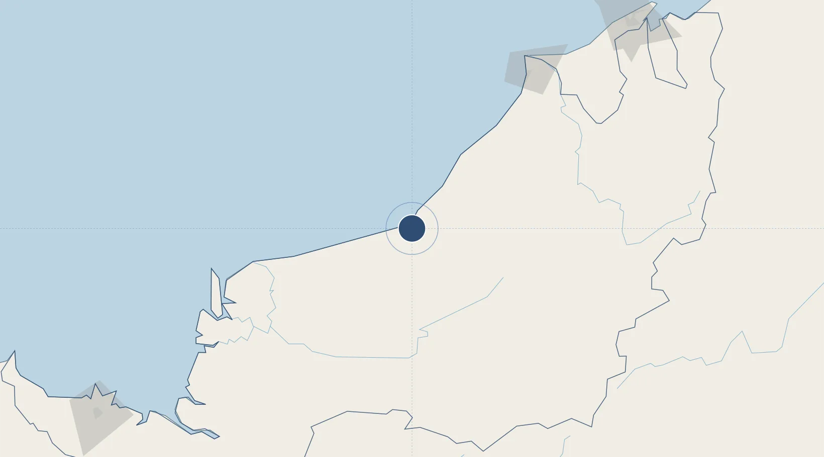
3.1239°, 113.0200°
9,006 ft
Longest runway
1
Runways
74 ft
Elevation
Runway & Layout

Radio Frequencies
ATIS
127.8 MHz
TWR
122.3 MHz
GND
121.8 MHz
Navaids
BTU NDB Bintulu 368 kHz
VBU VOR-DME Bintulu 112.60 MHz
Runways · 1
| Runway | Dimensions | Surface | True heading | Lit |
|---|---|---|---|---|
| 17/35 | 9,006 × 147ft | Asphalt | 168° | ✓ |
Airport Specifications
IATA code
BTU
ICAO code
WBGB
Airport class
Medium airport
Scheduled service
Yes
Runway surface
Asphalt
Served city
Bintulu
Location
Nearby Logistics Neighbours
Airports
- 1Mukah Airport112 km
- 2Sibu Airport150 km
- 3Miri Airport171 km
- 4Marudi Airport187 km
- 5Mulu Airport223 km
Cities
- 1Bintulu, Sarawak18 km
- 2Tubau76 km
- 3Samalaju108 km
- 4Sungai Merah158 km
- 5Sibu, Sarawak162 km
Ports
- 1Bintulu Port17 km
- 2Kuala Kapus150 km
- 3Sibu163 km
- 4Miri175 km
- 5Lutong185 km
Trade Zones
- 1Mas Cargo Free Zone, Penang171 km
- 2Muara Export Zone311 km
- 3Terunjing Free Trade Zone311 km
- 4Sarawak Corridor Of Renewable Energy339 km
- 5Sama Jaya Free Industrial Zone342 km
DatabookThe Record of Consolidated Knowledge
Malaysia beyond logistics?