Medium airport · Indonesia

Pangsuma AirportWIOP
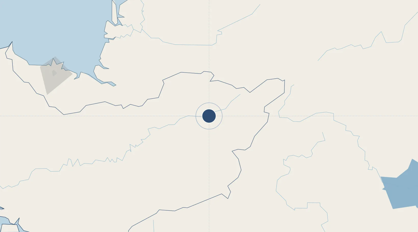
0.8346°, 112.9402°
3,294 ft
Longest runway
1
Runways
297 ft
Elevation

Runway & Layout

Pangsuma Airport runway & taxiway layout
Runway & taxiway layout — OpenStreetMap (ODbL) / OurAirports

Radio Frequencies

A/G
123.5 MHz
INFO
OurAirports

Navaids

PB NDB Pangsuma 360 kHz
OurAirports

Runways · 1

RunwayDimensions SurfaceTrue headingLit
10/28 3,294 × 75ft Asphalt 106°
OurAirports

Airport Specifications

IATA code
PSU
OurAirports
ICAO code
WIOP
OurAirports
Airport class
Medium airport
OurAirports
Scheduled service
Yes
OurAirports
Runway surface
Asphalt
OurAirports
Served city
Putussibau-Borneo Island
OurAirports

Location

Location of WIOP
Natural Earth 10m (public domain) · Kalimantan Barat · WIOP · 0.83, 112.94GoogleOSMYandex

Nearby Logistics Neighbours

Airports
  1. 1Datadawai Airport177 km
  2. 2Susilo Airport184 km
  3. 3Nanga Pinoh Airport187 km
  4. 4Sibu Airport191 km
  5. 5Tebelian Airport192 km
Nearest neighbours — logibook spatial index (haversine) over the source coordinates
Cities
  1. 1Sungai Nibong143 km
  2. 2Samu176 km
  3. 3Sibu, Sarawak203 km
  4. 4Sungai Merah207 km
  5. 5Sarikei213 km
Nearest neighbours — logibook spatial index (haversine) over the source coordinates
Ports
  1. 1Sibu204 km
  2. 2Bintangor208 km
  3. 3Sarikei213 km
  4. 4Tg. Mani229 km
  5. 5Bintulu Port271 km
Nearest neighbours — logibook spatial index (haversine) over the source coordinates
Trade Zones
  1. 1Sama Jaya Free Industrial Zone293 km
  2. 2Sarawak Corridor Of Renewable Energy294 km
  3. 3Delma Industrial Park388 km
  4. 4Muara Wahau Industrial Park403 km
  5. 5Mas Cargo Free Zone, Penang405 km
Nearest neighbours — logibook spatial index (haversine) over the source coordinates
DatabookThe Record of Consolidated Knowledge
Indonesia beyond logistics?
Browse databook

All Sources

AirportsOurAirports
Public domain
Portsthe NGA World Port Index
Public domain (US gov)
LocationsUN/LOCODE
UN/LOCODE — free
Trade Zonesthe World Bank SEZ database
CC BY 4.0
Trade ZonesOpen Zone Map
CC BY
InfrastructureOpenStreetMap
ODbL 1.0
← Indonesia airports