Transport Functions
Port
Hub Profile
Region
13
Logistics facilities
1
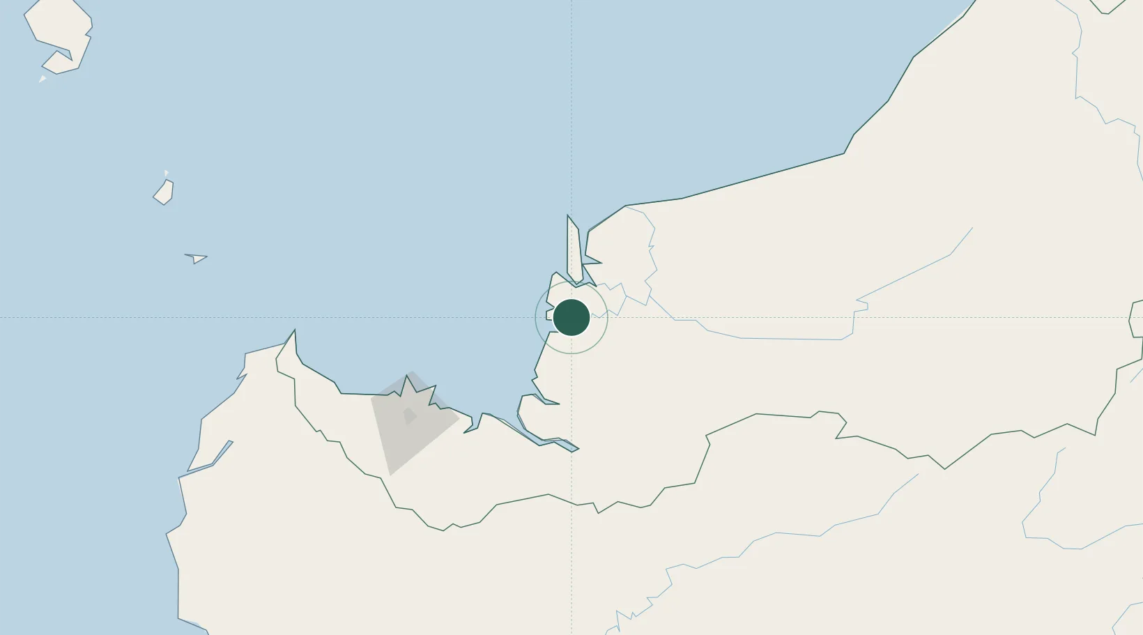
Location
Nearby Logistics Neighbours
Cities
- 1Sarikei20 km
- 2Pulau Bruit47 km
- 3Sibu, Sarawak56 km
- 4Sungai Merah58 km
- 5Samu71 km
Ports
- 1Sarikei22 km
- 2Bintangor33 km
- 3Sibu55 km
- 4Kuching128 km
- 5Bintulu Port228 km
Airports
- 1Sibu Airport73 km
- 2Mukah Airport112 km
- 3Kuching International Airport133 km
- 4Bintulu Airport215 km
- 5Pangsuma Airport231 km
Trade Zones
- 1Sarawak Corridor Of Renewable Energy124 km
- 2Sama Jaya Free Industrial Zone126 km
- 3Mas Cargo Free Zone, Penang380 km
- 4Kawasan Industri Suge427 km
- 5Muara Export Zone523 km
DatabookThe Record of Consolidated Knowledge
Malaysia beyond logistics?