Transport Functions
Port
Road
Hub Profile
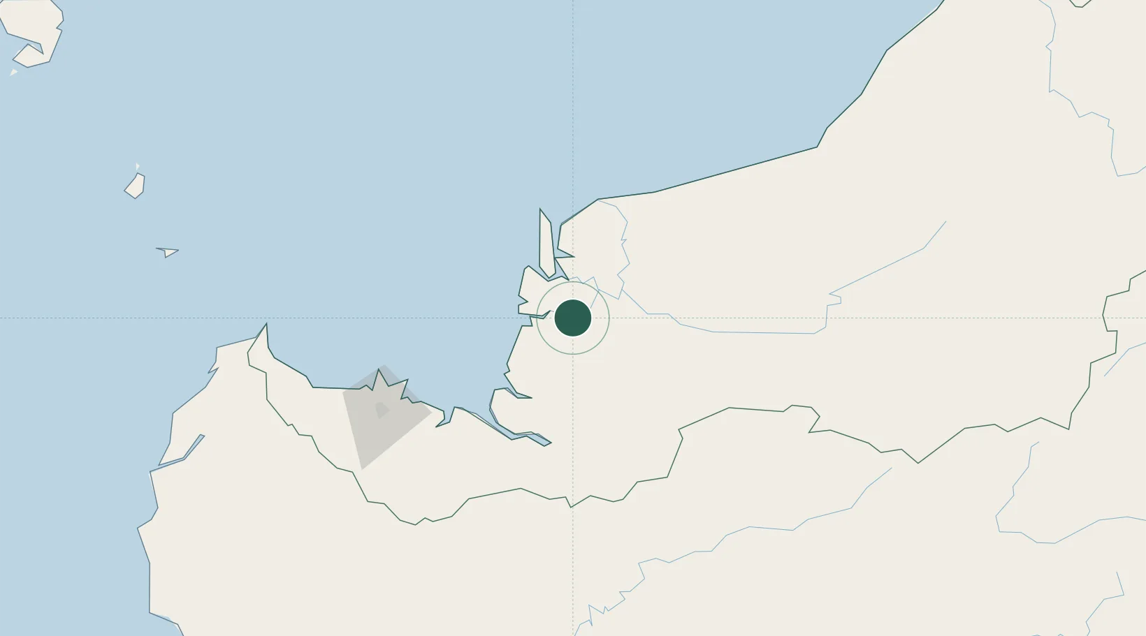
Place type
Populated place
Region
Sarawak
Population
44,039
Time zone
Asia/Kuching
Elevation
11 m
Location
Nearby Logistics Neighbours
Cities
- 1Tanjung Manis20 km
- 2Sibu, Sarawak39 km
- 3Sungai Merah43 km
- 4Pulau Bruit56 km
- 5Samu63 km
Ports
- 1Bintangor14 km
- 2Tg. Mani19 km
- 3Sibu38 km
- 4Kuching143 km
- 5Bintulu Port215 km
Airports
- 1Sibu Airport55 km
- 2Mukah Airport103 km
- 3Kuching International Airport147 km
- 4Bintulu Airport201 km
- 5Pangsuma Airport213 km
Trade Zones
- 1Sarawak Corridor Of Renewable Energy139 km
- 2Sama Jaya Free Industrial Zone141 km
- 3Mas Cargo Free Zone, Penang368 km
- 4Kawasan Industri Suge447 km
- 5Muara Export Zone510 km
DatabookThe Record of Consolidated Knowledge
Malaysia beyond logistics?