Runway & Layout

Airport Specifications
ICAO code
WBAK
Airport class
Small airport
Scheduled service
Yes
Served city
Seria
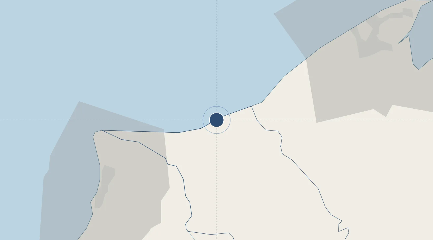
Location
Nearby Logistics Neighbours
Airports
- 1Marudi Airport51 km
- 2Miri Airport56 km
- 3Brunei International Airport70 km
- 4Limbang Airport73 km
- 5Mulu Airport81 km
Cities
- 1Miri, Sarawak43 km
- 2Kuala Baram45 km
- 3Bandar Seri Begawan67 km
- 4Muara88 km
- 5Labuan119 km
Ports
- 1Seria Oil Loading Terminal7 km
- 2Lumut12 km
- 3Kuala Belait20 km
- 4Lutong46 km
- 5Miri54 km
Trade Zones
- 1Mas Cargo Free Zone, Penang56 km
- 2Muara Export Zone88 km
- 3Terunjing Free Trade Zone88 km
- 4Labuan Offshore Financial Centre120 km
- 5Sabah Development Corridor237 km
DatabookThe Record of Consolidated Knowledge
Brunei beyond logistics?