Large airport · Brunei
Brunei International AirportWBSB
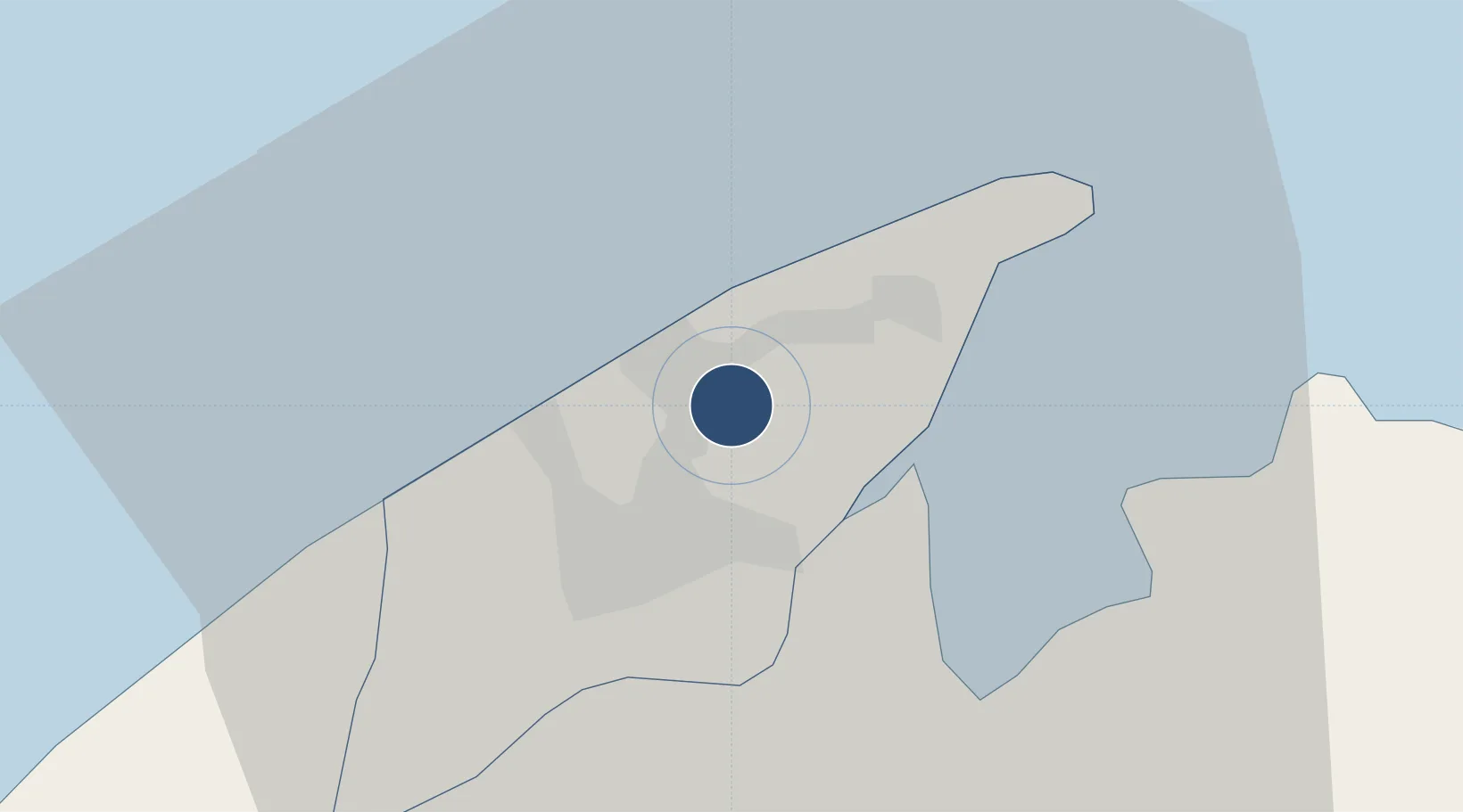
4.9442°, 114.9280°
12,000 ft
Longest runway
1
Runways
73 ft
Elevation
Runway & Layout

Radio Frequencies
ATIS
126.8 MHz
TWR
118.7 MHz
GND
121.9 MHz
APP
121.3 MHz
RADAR
Navaids
BR NDB Brunei 318 kHz
BRU VOR-DME Brunei 112.00 MHz
Runways · 1
| Runway | Dimensions | Surface | True heading | Lit |
|---|---|---|---|---|
| 03/21 | 12,000 × 150ft | Asphalt | 031° | ✓ |
Airport Specifications
IATA code
BWN
ICAO code
WBSB
Airport class
Large airport
Scheduled service
Yes
Runway surface
Asphalt
Served city
Bandar Seri Begawan
Location
Nearby Logistics Neighbours
Airports
- 1Limbang Airport18 km
- 2Labuan Airport53 km
- 3Lawas Airport54 km
- 4Anduki Airport70 km
- 5Mulu Airport101 km
Cities
- 1Bandar Seri Begawan7 km
- 2Muara18 km
- 3Labuan50 km
- 4Menumbok63 km
- 5Beaufort101 km
Ports
- 1Bandar Seri Begawan8 km
- 2Muara Harbor18 km
- 3Lumut59 km
- 4Seria Oil Loading Terminal77 km
- 5Kuala Belait88 km
Trade Zones
- 1Muara Export Zone19 km
- 2Terunjing Free Trade Zone19 km
- 3Labuan Offshore Financial Centre51 km
- 4Mas Cargo Free Zone, Penang125 km
- 5Sabah Development Corridor168 km
DatabookThe Record of Consolidated Knowledge
Brunei beyond logistics?