Medium airport · Malaysia
Miri AirportWBGR
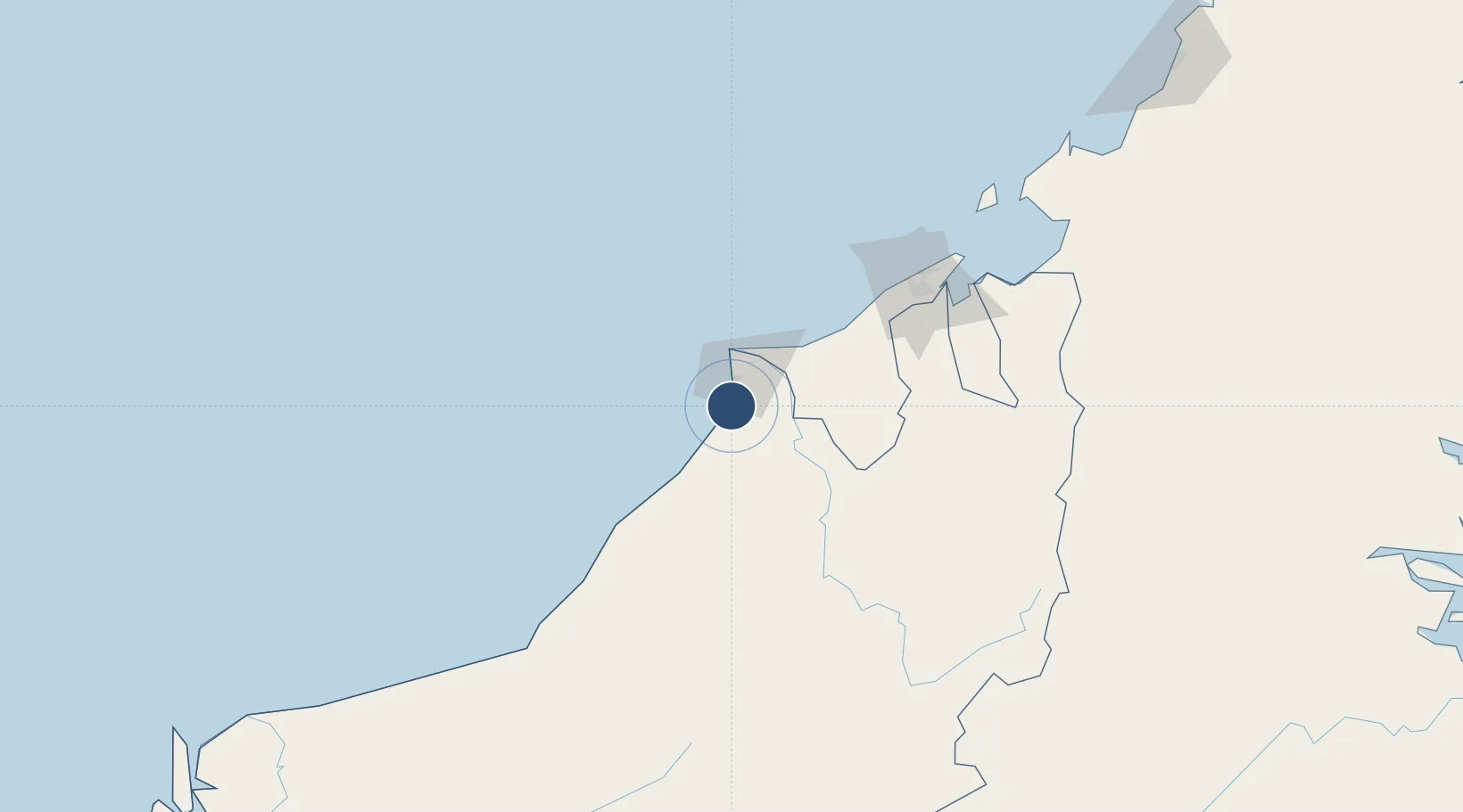
4.3220°, 113.9870°
9,006 ft
Longest runway
1
Runways
59 ft
Elevation
Runway & Layout

Radio Frequencies
ATIS
127 MHz
TWR
123.3 MHz
GND
121.9 MHz
APP
122.9 MHz
Navaids
MYY NDB Miri 209 kHz
VMI VOR-DME Miri 112.40 MHz
Runways · 1
| Runway | Dimensions | Surface | True heading | Lit |
|---|---|---|---|---|
| 02/20 | 9,006 × 197ft | Asphalt | 025° | ✓ |
Airport Specifications
IATA code
MYY
ICAO code
WBGR
Airport class
Medium airport
Scheduled service
Yes
Runway surface
Asphalt
Served city
Miri
Location
Nearby Logistics Neighbours
Airports
- 1Marudi Airport41 km
- 2Anduki Airport56 km
- 3Mulu Airport96 km
- 4Brunei International Airport125 km
- 5Limbang Airport126 km
Cities
- 1Miri, Sarawak19 km
- 2Kuala Baram27 km
- 3Samalaju65 km
- 4Bandar Seri Begawan122 km
- 5Tubau136 km
Ports
- 1Miri7 km
- 2Lutong16 km
- 3Kuala Belait42 km
- 4Seria Oil Loading Terminal49 km
- 5Lumut68 km
Trade Zones
- 1Mas Cargo Free Zone, Penang1 km
- 2Muara Export Zone144 km
- 3Terunjing Free Trade Zone144 km
- 4Labuan Offshore Financial Centre175 km
- 5Sabah Development Corridor293 km
DatabookThe Record of Consolidated Knowledge
Malaysia beyond logistics?