UN/LOCODE hub · Mexico
MXPMS
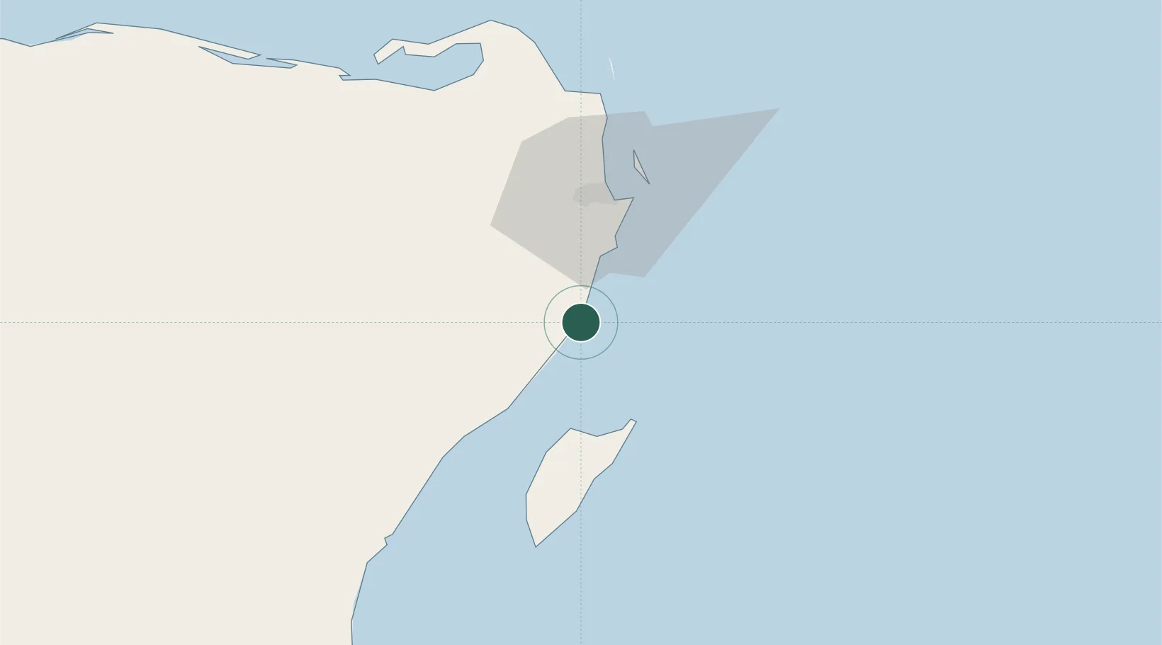
Puerto Morelos
20.8417°, -86.8781°
2
Transport functions
1
Container terminals
Transport Functions
Port
Road
Hub Profile
Place type
Populated place
Region
Quintana Roo
Time zone
America/Cancun
Elevation
3 m
Logistics facilities
1
Container terminals
1
Location
Nearby Logistics Neighbours
Cities
- 1Playa del Carmen32 km
- 2Solidaridad33 km
- 3Cozumel37 km
- 4Punta Venado44 km
- 5Tixkokob263 km
Ports
- 1San Miguel De Cozumel39 km
- 2Punta Venado41 km
- 3Puerto Costa Maya249 km
- 4Progreso294 km
- 5Santa Lucia363 km
Airports
Trade Zones
- 1Special Economic Zone of Progreso293 km
- 2Special Economic Zone of Chetumal300 km
- 3Corozol Free Zone306 km
- 4San Andres Export Processing Zone317 km
- 5Price Barracks396 km
DatabookThe Record of Consolidated Knowledge
Mexico beyond logistics?