Transport Functions
Port
Road
Multimodal
Hub Profile
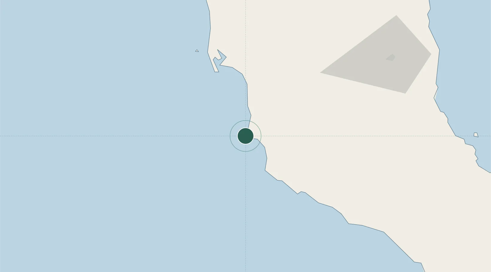
Place type
Populated place
Region
Baja California
Population
7
Time zone
America/Tijuana
Elevation
6 m
Location
Nearby Logistics Neighbours
Cities
- 1Santo Tomas191 km
- 2Cedros Island209 km
- 3Midland214 km
- 4Cedros215 km
- 5Ensenada221 km
Ports
- 1Puerto Morro Redondo222 km
- 2Ensenada225 km
- 3Rosarito294 km
- 4San Diego332 km
- 5Avalon444 km
Airports
Trade Zones
- 1FTZ No. 257 Imperial County313 km
- 2FTZ No. 153 San Diego317 km
- 3FTZ No. 219 Yuma325 km
- 4FTZ No. 236 Palm Springs434 km
- 5FTZ No. 244 Riverside County460 km
DatabookThe Record of Consolidated Knowledge
Mexico beyond logistics?