Transport Functions
Port
Hub Profile
Region
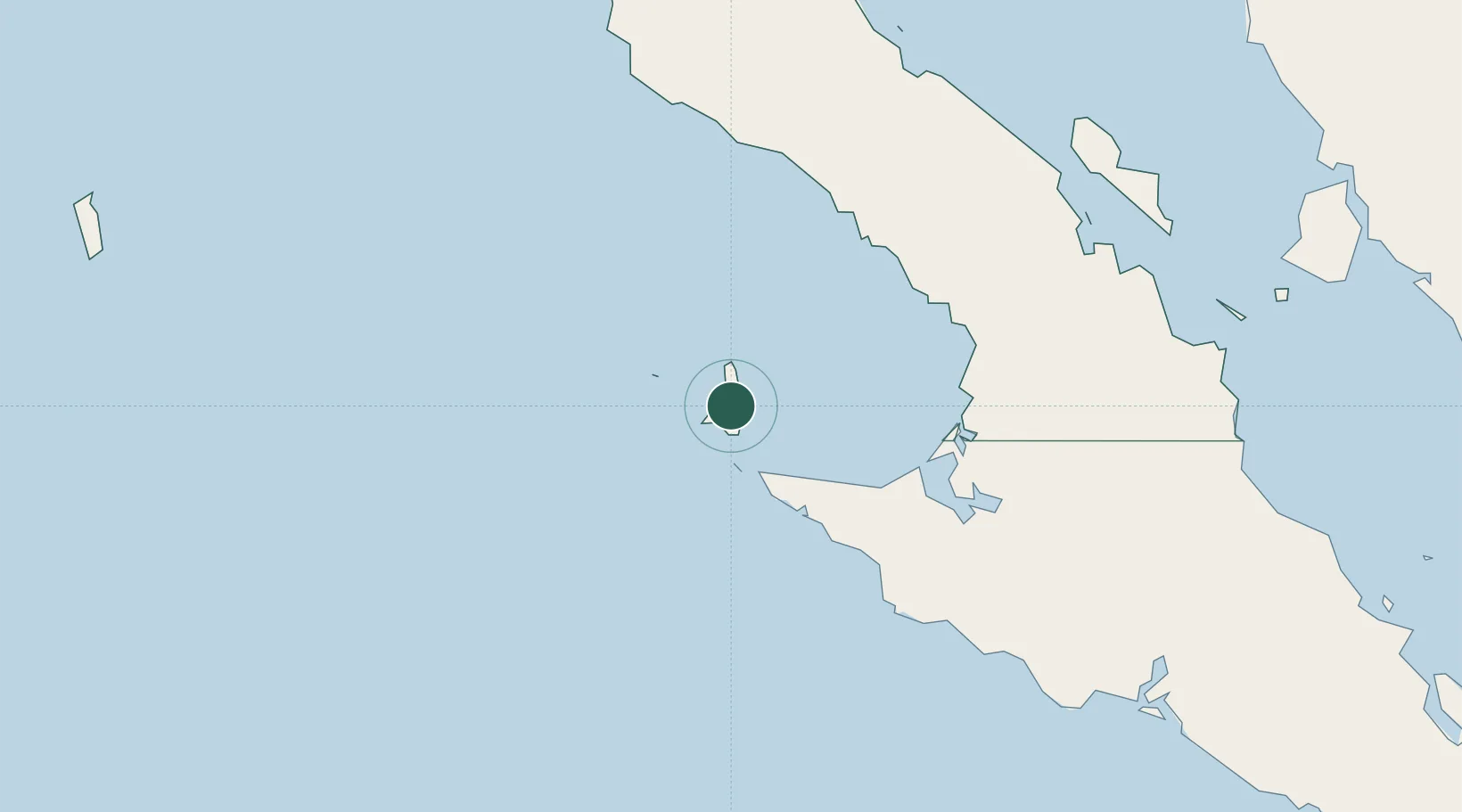
BCN
Location
Nearby Logistics Neighbours
Cities
- 1Cedros7 km
- 2Punta Baja209 km
- 3Puerto Libertad314 km
- 4Isla San Marcos325 km
- 5Loreto351 km
Ports
- 1Puerto Morro Redondo13 km
- 2Santa Rosalia303 km
- 3Isla San Marcos326 km
- 4Guaymas423 km
- 5Ensenada433 km
Airports
Trade Zones
- 1FTZ No. 219 Yuma508 km
- 2FTZ No. 257 Imperial County513 km
- 3FTZ No. 153 San Diego525 km
- 4FTZ No. 060 Nogales544 km
- 5FTZ No. 139 Sierra Vista606 km
DatabookThe Record of Consolidated Knowledge
Mexico beyond logistics?