Medium airport · Mexico
Cabo San Lucas International AirportMMSL
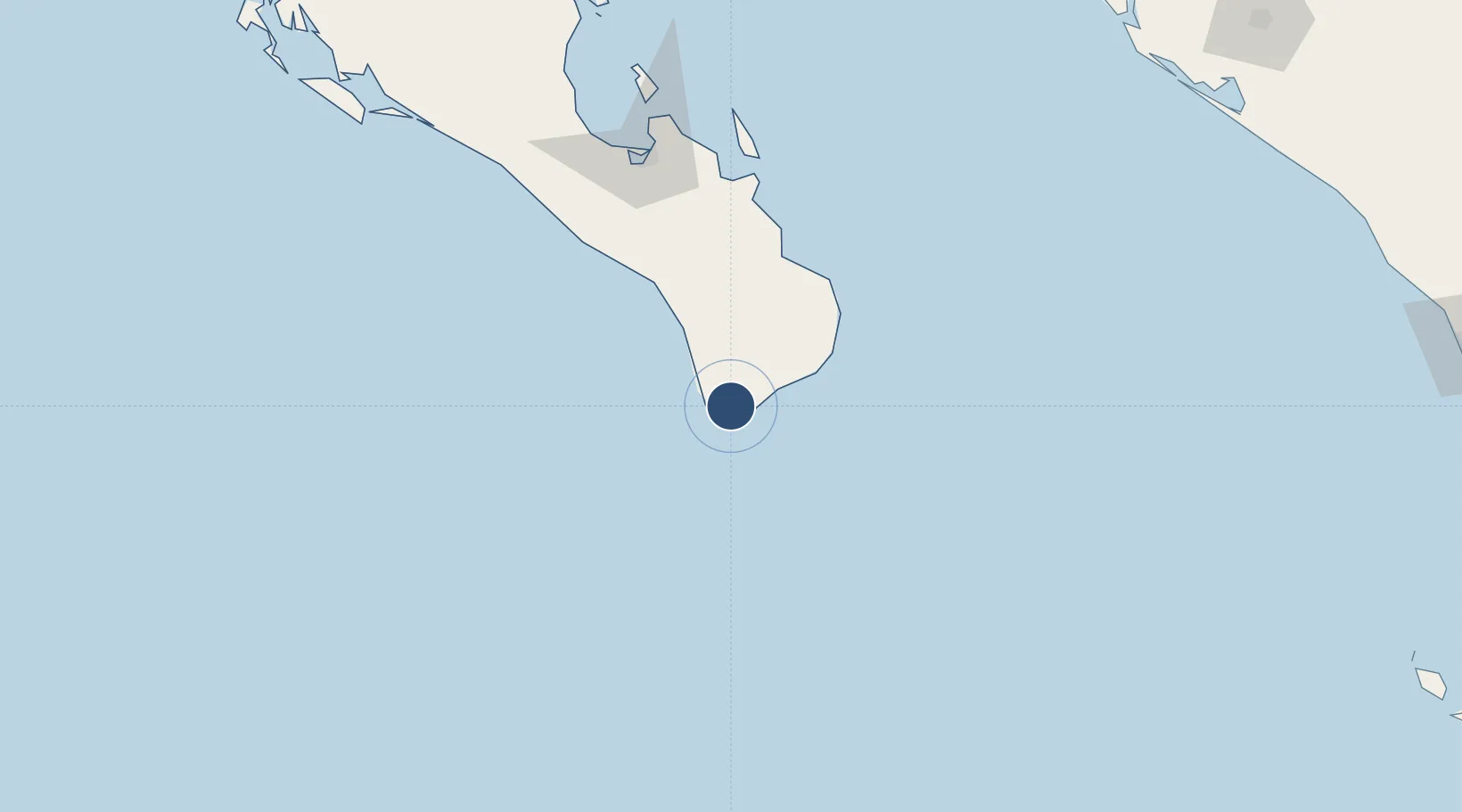
22.9491°, -109.9395°
6,998 ft
Longest runway
1
Runways
459 ft
Elevation
Runway & Layout

Radio Frequencies
Tower
118.75 MHz
Cabo san Lucas tower
UNIC
122.8 MHz
UNICOM
Runways · 1
| Runway | Dimensions | Surface | True heading | Lit |
|---|---|---|---|---|
| 11/29 | 6,998 × 148ft | Asphalt | 119° | — |
Airport Specifications
IATA code
CSW
ICAO code
MMSL
Airport class
Medium airport
Scheduled service
Yes
Runway surface
Asphalt
Served city
Cabo San Lucas
Location
Nearby Logistics Neighbours
Airports
Cities
- 1Cabo San Lucas9 km
- 2San Jose del Cabo29 km
- 3La Paz137 km
- 4Pichilingue155 km
- 5Topolobampo308 km
Ports
- 1La Paz141 km
- 2Pichilingue152 km
- 3San Juan De La Costa179 km
- 4Topolobampo308 km
- 5Mazatlan361 km
Trade Zones
- 1FTZ No. 060 Nogales939 km
- 2FTZ No. 139 Sierra Vista957 km
- 3The Special Economic Zone of Lázaro Cárdenas - La Unión983 km
- 4FTZ No. 174 Pima County1043 km
- 5FTZ No. 068 El Paso1047 km
DatabookThe Record of Consolidated Knowledge
Mexico beyond logistics?