UN/LOCODE hub · Mexico
MXCSL
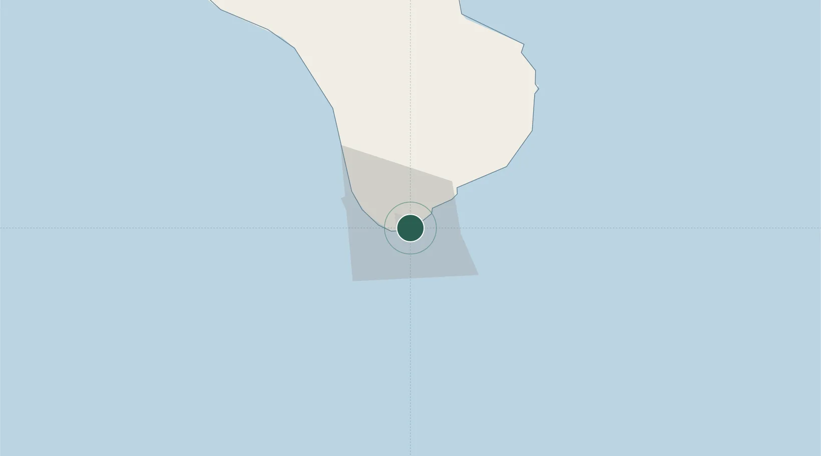
Cabo San Lucas
22.8833°, -109.8833°
202,694
Population
2
Transport functions
Transport Functions
Port
Road
Hub Profile
Place type
Populated place
Region
Baja California Sur
Population
202,694
Time zone
America/Mazatlan
Elevation
11 m
Location
Nearby Logistics Neighbours
Cities
- 1San Jose del Cabo28 km
- 2La Paz145 km
- 3Pichilingue164 km
- 4Topolobampo314 km
- 5Tamaulipas324 km
Ports
- 1La Paz149 km
- 2Pichilingue161 km
- 3San Juan De La Costa188 km
- 4Topolobampo313 km
- 5Mazatlan357 km
Airports
Trade Zones
- 1FTZ No. 060 Nogales947 km
- 2FTZ No. 139 Sierra Vista965 km
- 3The Special Economic Zone of Lázaro Cárdenas - La Unión974 km
- 4FTZ No. 174 Pima County1051 km
- 5FTZ No. 068 El Paso1052 km
DatabookThe Record of Consolidated Knowledge
Mexico beyond logistics?