Large airport · Mexico
Los Cabos International AirportMMSD
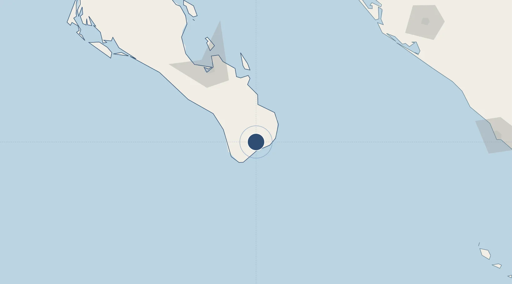
23.1519°, -109.7207°
9,843 ft
Longest runway
1
Runways
374 ft
Elevation
Runway & Layout

Radio Frequencies
ATIS
127.6 MHz
TWR
118.9 MHz
SAN JOSE TWR
APP
120.9 MHz
SAN JOSE APP
Navaids
SJD VOR-DME Cabos 114.00 MHz
Runways · 1
| Runway | Dimensions | Surface | True heading | Lit |
|---|---|---|---|---|
| 16/34 | 9,843 × 148ft | Asphalt | 174° | ✓ |
Airport Specifications
IATA code
SJD
ICAO code
MMSD
Airport class
Large airport
Scheduled service
Yes
Runway surface
Asphalt
Served city
San José del Cabo
Location
Nearby Logistics Neighbours
Airports
Cities
- 1San Jose del Cabo12 km
- 2Cabo San Lucas34 km
- 3La Paz124 km
- 4Pichilingue141 km
- 5Topolobampo281 km
Ports
- 1La Paz128 km
- 2Pichilingue139 km
- 3San Juan De La Costa171 km
- 4Topolobampo280 km
- 5Mazatlan338 km
Trade Zones
- 1FTZ No. 060 Nogales919 km
- 2FTZ No. 139 Sierra Vista936 km
- 3The Special Economic Zone of Lázaro Cárdenas - La Unión977 km
- 4FTZ No. 068 El Paso1019 km
- 5FTZ No. 150 El Paso1019 km
DatabookThe Record of Consolidated Knowledge
Mexico beyond logistics?