UN/LOCODE hub · Mexico
MXZMI
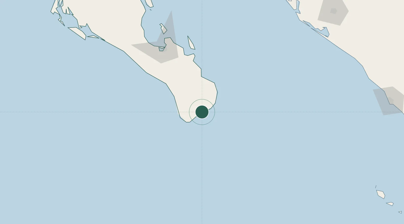
San Jose del Cabo
23.0500°, -109.6833°
136,285
Population
1
Transport functions
Transport Functions
Multimodal
Hub Profile
Place type
Populated place
Region
Baja California Sur
Population
136,285
Time zone
America/Mazatlan
Elevation
34 m
Location
Nearby Logistics Neighbours
Cities
- 1Cabo San Lucas28 km
- 2La Paz136 km
- 3Pichilingue153 km
- 4Topolobampo291 km
- 5Tamaulipas296 km
Ports
- 1La Paz140 km
- 2Pichilingue151 km
- 3San Juan De La Costa182 km
- 4Topolobampo290 km
- 5Mazatlan335 km
Airports
Trade Zones
- 1FTZ No. 060 Nogales931 km
- 2FTZ No. 139 Sierra Vista948 km
- 3The Special Economic Zone of Lázaro Cárdenas - La Unión967 km
- 4FTZ No. 068 El Paso1028 km
- 5FTZ No. 150 El Paso1028 km
DatabookThe Record of Consolidated Knowledge
Mexico beyond logistics?