UN/LOCODE hub · Mexico
MXLAP

La Paz

24.1333°, -110.3000°
250,141
Population
3
Transport functions

Transport Functions

Port
Road
Airport
La Paz is also a profiled seaport →
UN/LOCODE

Hub Profile

Place type
Regional capital
GeoNames
Region
Baja California Sur
GeoNames
Population
250,141
GeoNames
Time zone
America/Mazatlan
GeoNames
Elevation
33 m
GeoNames

Location

Location of MXLAP
Natural Earth 10m (public domain) · Baja California Sur · MXLAP · 24.13, -110.30GoogleOSMYandex

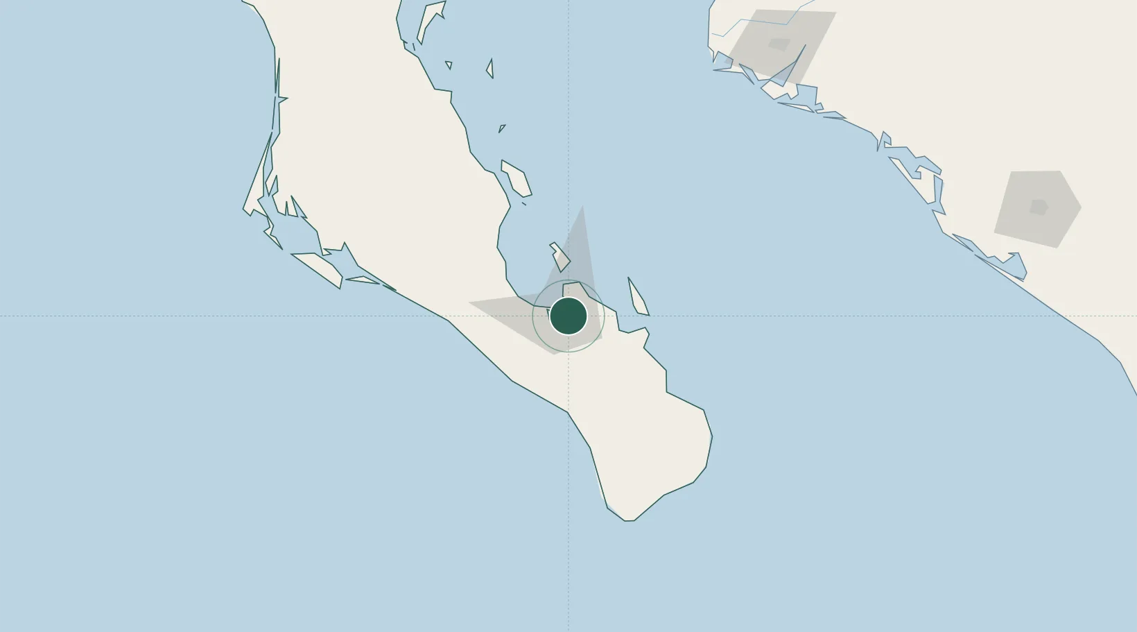
Nearby Logistics Neighbours

Cities
  1. 1Pichilingue19 km
  2. 2San Jose del Cabo136 km
  3. 3Cabo San Lucas145 km
  4. 4Topolobampo206 km
  5. 5Guasave245 km
Nearest neighbours — logibook spatial index (haversine) over the source coordinates
Ports
  1. 1Pichilingue15 km
  2. 2San Juan De La Costa50 km
  3. 3Topolobampo205 km
  4. 4Isla San Marcos384 km
  5. 5Santa Rosalia408 km
Nearest neighbours — logibook spatial index (haversine) over the source coordinates
Airports
  1. 1Manuel Márquez de León International Airport9 km
  2. 2Los Cabos International Airport124 km
  3. 3Cabo San Lucas International Airport137 km
  4. 4Ciudad Constitución National Airport168 km
  5. 5Valle del Fuerte International Airport212 km
Nearest neighbours — logibook spatial index (haversine) over the source coordinates
Trade Zones
  1. 1FTZ No. 060 Nogales805 km
  2. 2FTZ No. 139 Sierra Vista825 km
  3. 3FTZ No. 174 Pima County909 km
  4. 4FTZ No. 068 El Paso938 km
  5. 5FTZ No. 150 El Paso938 km
Nearest neighbours — logibook spatial index (haversine) over the source coordinates
DatabookThe Record of Consolidated Knowledge
Mexico beyond logistics?
Browse databook

All Sources

LocationsUN/LOCODE
UN/LOCODE — free
LocationsGeoNames
CC BY 4.0
Portsthe NGA World Port Index
Public domain (US gov)
AirportsOurAirports
Public domain
Trade Zonesthe World Bank SEZ database
CC BY 4.0
Trade ZonesOpen Zone Map
CC BY
← Mexico locations