Transport Functions
Port
Airport
Hub Profile
Logistics facilities
4
Container terminals
1
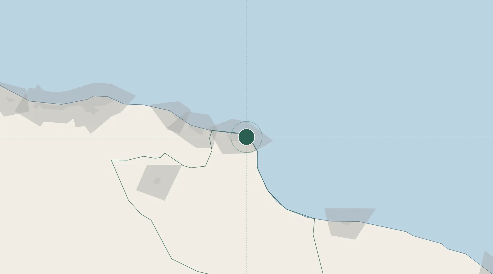
Location
Nearby Logistics Neighbours
Cities
- 1Mellitah (Qasr Ahmed)29 km
- 2El Choms95 km
- 3Al Khums98 km
- 4Bu'ayrat al Hasun117 km
- 5Tripoli199 km
Ports
- 1Misratah1 km
- 2Khoms97 km
- 3Mina Tarabulus (Tripoli)200 km
- 4Az Zawiya240 km
- 5Bouri Oil Field294 km
Airports
Trade Zones
- 1Misurata Free Zone3 km
- 2Zwara-Abu-Kemmash Free Trade Zone305 km
- 3Taminhent Free Zone311 km
- 4Ben Guerdane Economic Free Zone354 km
- 5Malta Freeport389 km
DatabookThe Record of Consolidated Knowledge
Libya beyond logistics?