Transport Functions
Port
Rail
Road
Hub Profile
Region
MI
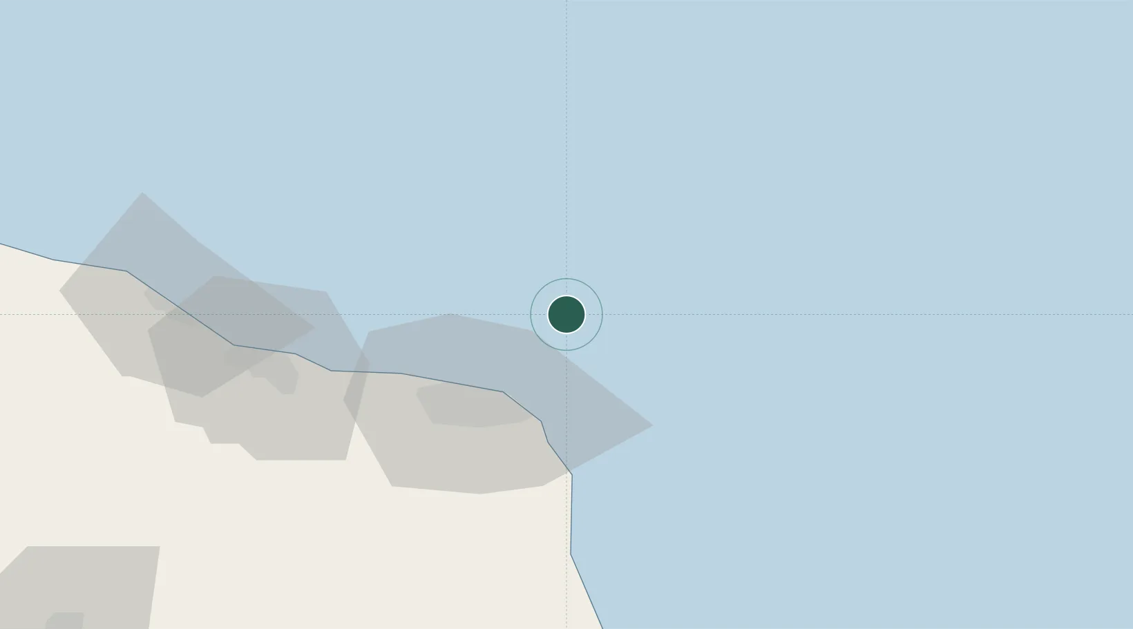
Location
Nearby Logistics Neighbours
Cities
- 1Misurata29 km
- 2El Choms102 km
- 3Al Khums104 km
- 4Bu'ayrat al Hasun138 km
- 5Tripoli205 km
Ports
- 1Misratah29 km
- 2Khoms103 km
- 3Mina Tarabulus (Tripoli)205 km
- 4Az Zawiya247 km
- 5Bouri Oil Field290 km
Airports
Trade Zones
- 1Misurata Free Zone32 km
- 2Zwara-Abu-Kemmash Free Trade Zone312 km
- 3Taminhent Free Zone323 km
- 4Ben Guerdane Economic Free Zone360 km
- 5Malta Freeport365 km
DatabookThe Record of Consolidated Knowledge
Libya beyond logistics?