Channel & Berth Profile
Pilotage, Tugs & Services
Pilotage compulsoryYES
Tug assistanceYES
Potable waterYES
Diesel bunkersNO
MedicalYES
Facilities & Capabilities
Container—
Ro-Ro—
Liquid bulk—
Dry bulk—
Oil terminal—
Break bulk—
Dry dockNO
RepairsNO
BunkeringYES
Rail link—
Dangerous cargo—
ISPS security—
Harbour Specifications
Harbour size
Very Small
Harbour type
Open Roadstead
Shelter
Fair
Water body
Mediterranean Sea; North Atlantic Ocean
Tidal range
1 m
Pilotage
Yes
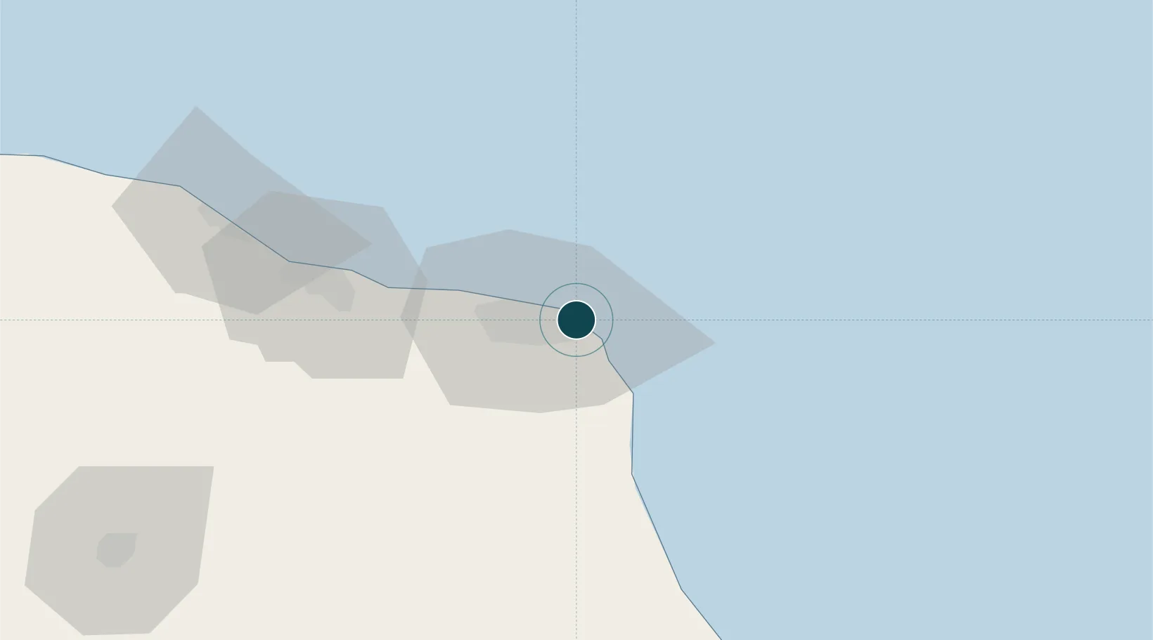
Location
Nearby Logistics Neighbours
Ports
- 1Khoms97 km
- 2Mina Tarabulus (Tripoli)199 km
- 3Az Zawiya239 km
- 4Bouri Oil Field294 km
- 5Abu Khammash328 km
Cities
- 1Misurata1 km
- 2Mellitah (Qasr Ahmed)29 km
- 3El Choms95 km
- 4Al Khums97 km
- 5Bu'ayrat al Hasun118 km
Airports
Trade Zones
- 1Misurata Free Zone3 km
- 2Zwara-Abu-Kemmash Free Trade Zone304 km
- 3Taminhent Free Zone311 km
- 4Ben Guerdane Economic Free Zone353 km
- 5Malta Freeport389 km
DatabookThe Record of Consolidated Knowledge
Libya beyond logistics?