Diversified Zone · South Korea
Cheongna International City Under Development
37.5581°, 126.6106°
1,781 ha
Zone area
10.2 km
Nearest port
15.9 km
Nearest airport
Gateway access
Zone profile
Zone type
Diversified Zone
Region
Gyeonggi
Status
Under Development
Management
Public
Operator
Incheon Free Economic Zone Authority
Legal framework
Special Act On Designation And Management Of Free Economic Zones Expand Act No. 15309, Dec. 26, 2017, Foreign Investment Promotion Act: Expand Act No. 16131, Dec. 31, 2018.
Location
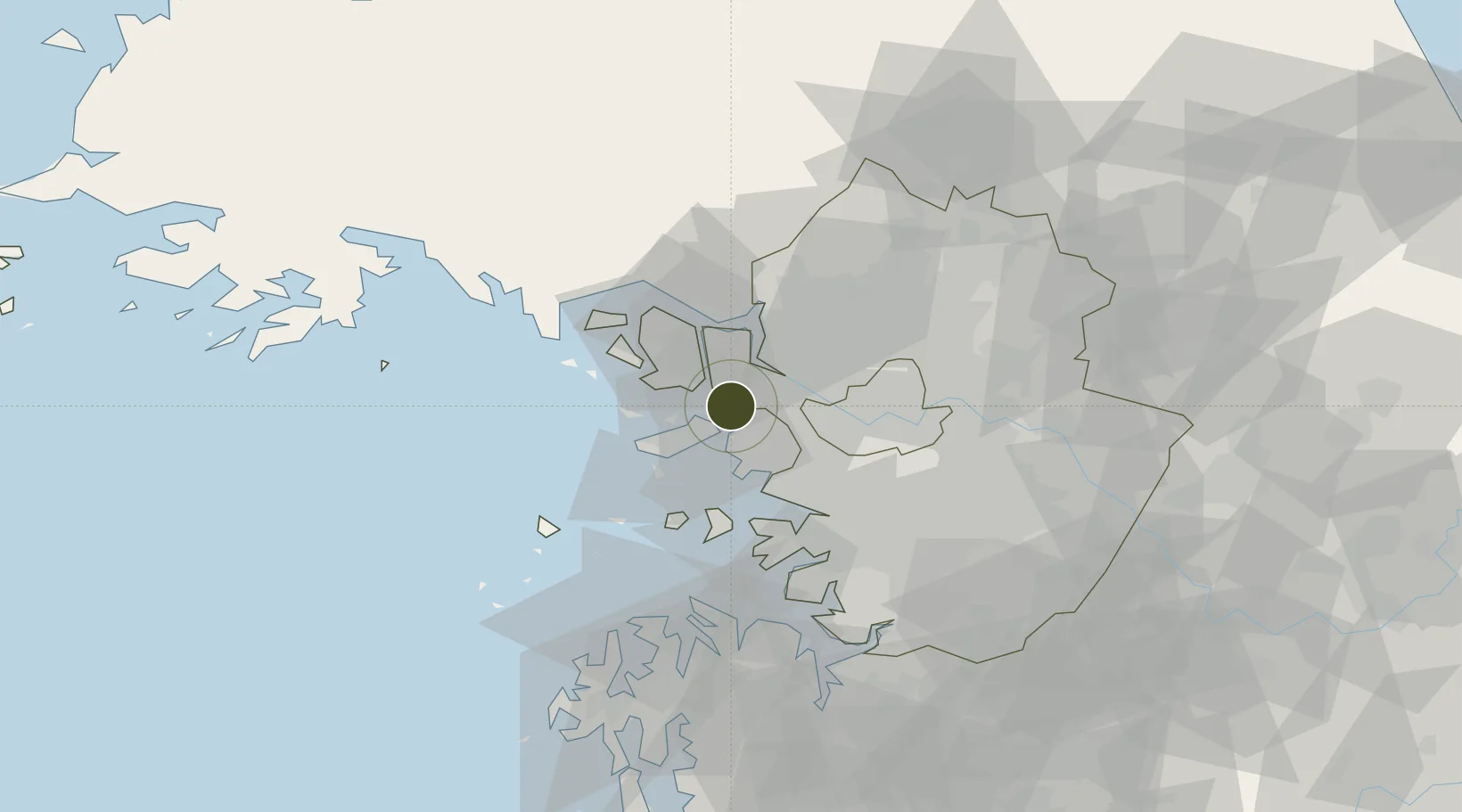
Nearby Logistics Neighbours
Ports
- 1Inchon10 km
- 2Daesan Hang63 km
- 3Pyeongtaek Hang64 km
- 4Haeju Hang94 km
- 5Kyomip'o157 km
Airports
- 1Gimpo International Airport16 km
- 2Incheon International Airport17 km
- 3Seoul Air Base (K-16)46 km
- 4Suwon Airport50 km
- 5Osan Air Base64 km
Cities
- 1Gyeongin3 km
- 2Gimpo9 km
- 3Bucheon14 km
- 4Incheon15 km
- 5Ilsan-dong20 km
DatabookThe Record of Consolidated Knowledge
South Korea beyond logistics?