UN/LOCODE hub · South Korea
KRGMG
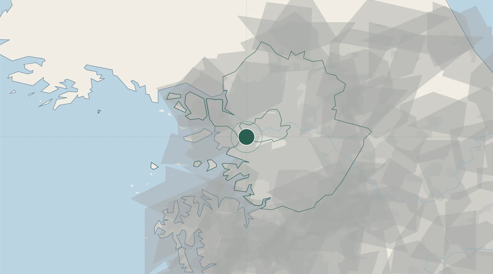
Gwangmyeong
37.4667°, 126.8500°
357,545
Population
2
Transport functions
Transport Functions
Rail
Road
Hub Profile
Place type
Populated place
Region
Gyeonggi-do
Population
357,545
Time zone
Asia/Seoul
Elevation
30 m
Location
Nearby Logistics Neighbours
Cities
- 1Sungnam (Seoul Ab)8 km
- 2Bucheon10 km
- 3Anyang11 km
- 4Siheung12 km
- 5Seoul13 km
Ports
- 1Inchon21 km
- 2Pyeongtaek Hang52 km
- 3Daesan Hang64 km
- 4Haeju Hang117 km
- 5Kunsan166 km
Airports
- 1Gimpo International Airport11 km
- 2Seoul Air Base (K-16)23 km
- 3Suwon Airport29 km
- 4Incheon International Airport35 km
- 5Osan Air Base45 km
DatabookThe Record of Consolidated Knowledge
South Korea beyond logistics?