Transport Functions
Port
Hub Profile
Region
28
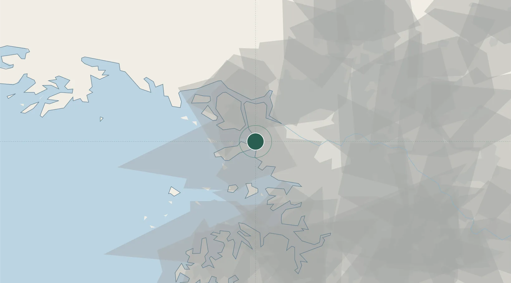
Location
Nearby Logistics Neighbours
Cities
- 1Gimpo12 km
- 2Incheon12 km
- 3Bucheon14 km
- 4Ilsan-dong22 km
- 5Goyang23 km
Ports
- 1Inchon8 km
- 2Daesan Hang60 km
- 3Pyeongtaek Hang62 km
- 4Haeju Hang95 km
- 5Kyomip'o159 km
Airports
- 1Incheon International Airport15 km
- 2Gimpo International Airport17 km
- 3Seoul Air Base (K-16)46 km
- 4Suwon Airport49 km
- 5Osan Air Base62 km
DatabookThe Record of Consolidated Knowledge
South Korea beyond logistics?