UN/LOCODE hub · South Korea
KRSHE

Siheung

37.3667°, 126.8000°
2
Transport functions

Transport Functions

Rail
Road
UN/LOCODE

Hub Profile

Region
41
GeoNames

Location

Location of KRSHE
Natural Earth 10m (public domain) · 41 · KRSHE · 37.37, 126.80GoogleOSMYandex

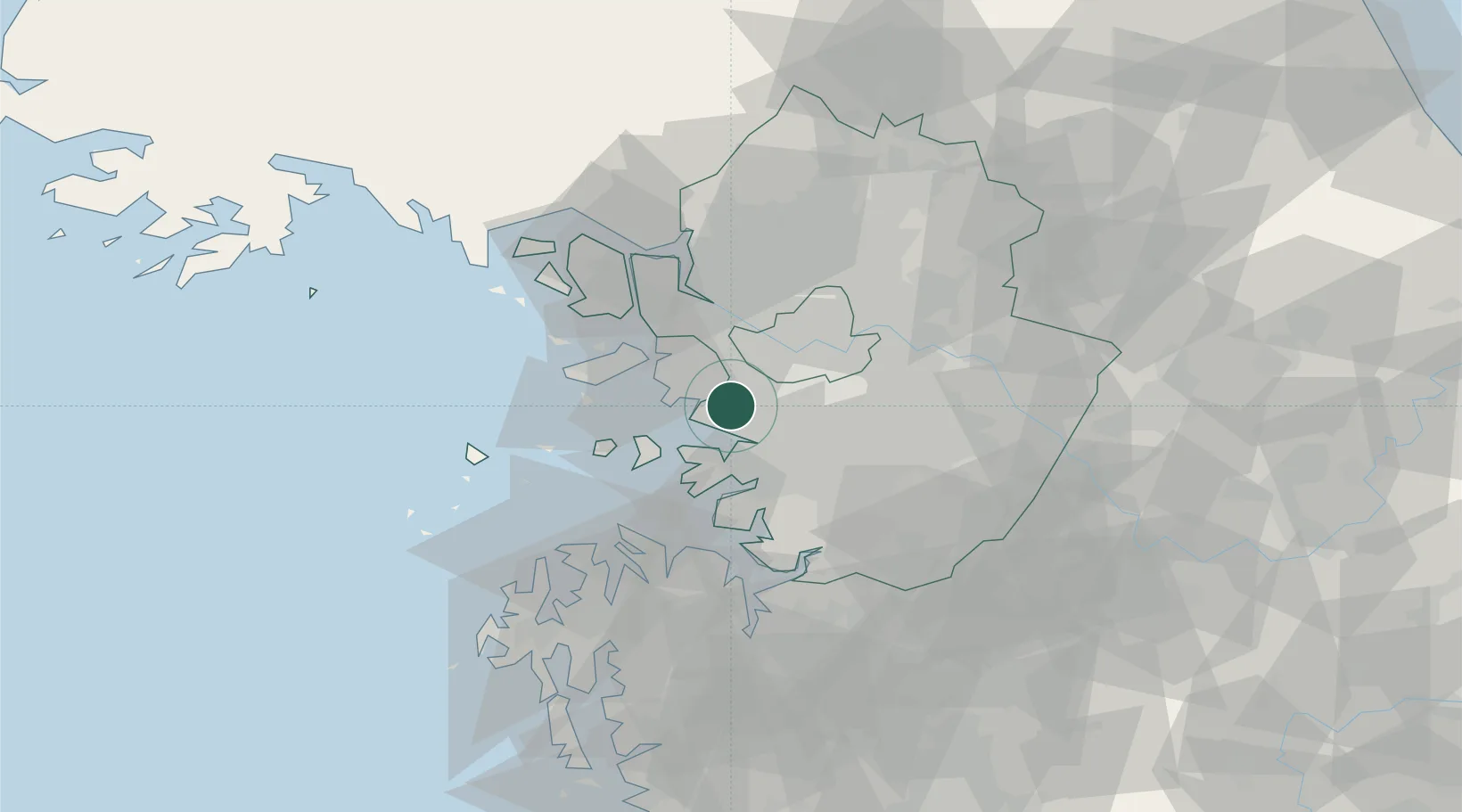
Nearby Logistics Neighbours

Cities
  1. 1Ansan6 km
  2. 2Uiwang10 km
  3. 3Anyang11 km
  4. 4Kunpo12 km
  5. 5Gwangmyeong12 km
Nearest neighbours — logibook spatial index (haversine) over the source coordinates
Ports
  1. 1Inchon20 km
  2. 2Pyeongtaek Hang41 km
  3. 3Daesan Hang53 km
  4. 4Haeju Hang120 km
  5. 5Kunsan155 km
Nearest neighbours — logibook spatial index (haversine) over the source coordinates
Airports
  1. 1Gimpo International Airport21 km
  2. 2Suwon Airport23 km
  3. 3Seoul Air Base (K-16)29 km
  4. 4Incheon International Airport33 km
  5. 5Osan Air Base37 km
Nearest neighbours — logibook spatial index (haversine) over the source coordinates
Trade Zones
  1. 1Banwol Ansan National Industrial Complex6 km
  2. 2Banwol Sihwa National Industrial Complex8 km
  3. 3Namdong National Industrial Complex10 km
  4. 4Songdo International Business District14 km
  5. 5Incheon Free Economic Zone15 km
Nearest neighbours — logibook spatial index (haversine) over the source coordinates
DatabookThe Record of Consolidated Knowledge
South Korea beyond logistics?
Browse databook

All Sources

LocationsUN/LOCODE
UN/LOCODE — free
Portsthe NGA World Port Index
Public domain (US gov)
AirportsOurAirports
Public domain
Trade Zonesthe World Bank SEZ database
CC BY 4.0
Trade ZonesOpen Zone Map
CC BY
← South Korea locations