Medium airport · South Korea
Suwon AirportRKSW
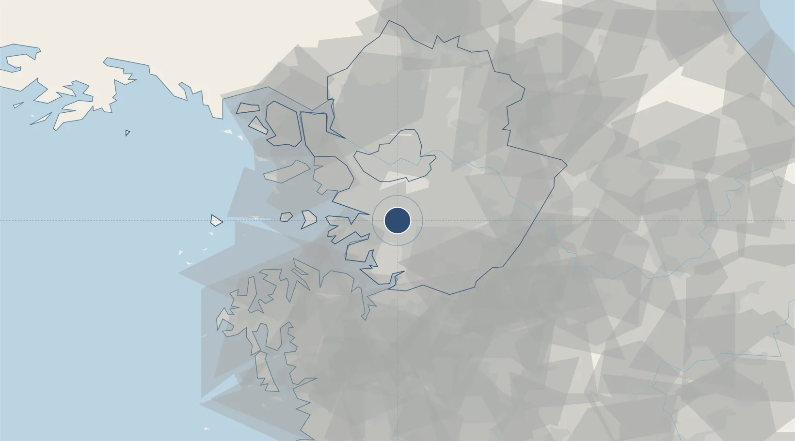
37.2394°, 127.0070°
9,000 ft
Longest runway
3
Runways
88 ft
Elevation
Runway & Layout

Radio Frequencies
ATIS
126.425 MHz
TWR
126.2 MHz
GND
27.58 MHz
A/D
127.9 MHz
OSAN APP/DEP
ACP
120 MHz
BRICKWALL
GCA
34.655 MHz
OPS
22.9 MHz
25TH TFS
PMSV
34.65 MHz
PMSV METRO
POST
22.9 MHz
USAF SUWON COMD POST
Navaids
SWN TACAN Suwon 108.50 MHz
Runways · 3
| Runway | Dimensions | Surface | True heading | Lit |
|---|---|---|---|---|
| 15L/33R | 9,000 × 150ft | Asphalt | 142° | ✓ |
| 15R/33L | 9,000 × 150ft | Asphalt | 142° | ✓ |
| 16/34 | 7,535 × 143ft | Asphalt | 158° | — |
Airport Specifications
IATA code
SWU
ICAO code
RKSW
Airport class
Medium airport
Scheduled service
No
Runway surface
Asphalt
Served city
Suwon
Location
Nearby Logistics Neighbours
Airports
Ports
- 1Pyeongtaek Hang32 km
- 2Inchon43 km
- 3Daesan Hang59 km
- 4Haeju Hang143 km
- 5Kunsan144 km
Trade Zones
DatabookThe Record of Consolidated Knowledge
South Korea beyond logistics?