Seaport · South Korea

KunsanKRKUV

35.9833°, 126.6167°
9.4 m
Channel depth
41.7
Port liner connectivity
Kunsan is also a UN/LOCODE logistics hub →

Channel & Berth Profile

SEA LEVEL (CD)CHANNEL BEDOil terminal · 3.4 mChannel · 9.4 mAnchorage · 9.4 mCargo pier · 11.0 m
NGA World Port Index

Pilotage, Tugs & Services

Pilotage compulsoryYES
Pilotage availableYES
Tug assistanceYES
Potable waterYES
Diesel bunkersYES
MedicalYES
Garbage disposalYES
NGA World Port Index

Facilities & Capabilities

Container
Ro-Ro
Liquid bulk
Dry bulk
Oil terminal
Break bulk
Dry dock
RepairsNO
BunkeringYES
Rail linkYES
Dangerous cargo
ISPS security
NGA World Port Index

Harbour Specifications

Harbour size
Small
NGA World Port Index
Harbour type
River (Natural)
NGA World Port Index
Shelter
Fair
NGA World Port Index
Water body
Yellow Sea; North Pacific Ocean
NGA World Port Index
Tidal range
6 m
NGA World Port Index
Pilotage
Yes
NGA World Port Index

Liner Connectivity

41.7
PLSCI

Port Liner Shipping Connectivity Index for Kunsan, as published by UNCTAD for the latest available quarter. Higher values indicate stronger scheduled liner-shipping integration.

Shown relative to the highest per-port PLSCI in the dataset (1,657.9).
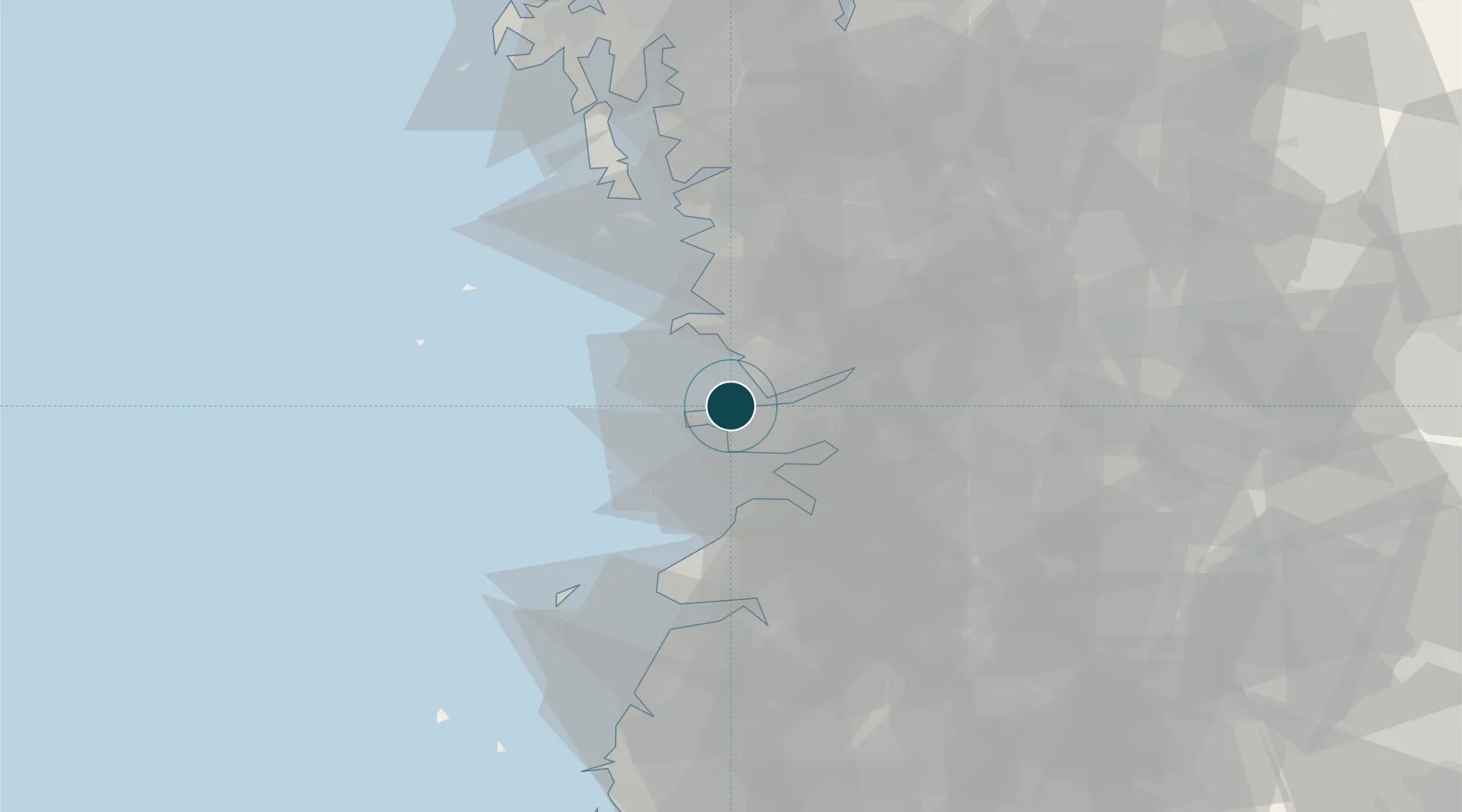
UNCTAD · Port Liner Shipping Connectivity Index

Location

Location of KRKUV
Natural Earth 10m (public domain) · North Jeolla · KRKUV · 35.98, 126.62GoogleOSMYandex

Nearby Logistics Neighbours

Ports
  1. 1Pyeongtaek Hang114 km
  2. 2Daesan Hang117 km
  3. 3Mokpo135 km
  4. 4Gwangyang Hang158 km
  5. 5Inchon165 km
Nearest neighbours — logibook spatial index (haversine) over the source coordinates
Cities
  1. 1Janghang/Seocheon-gun6 km
  2. 2Biin19 km
  3. 3Hampyeong-gun22 km
  4. 4Gangjin-gun26 km
  5. 5Gimje30 km
Nearest neighbours — logibook spatial index (haversine) over the source coordinates
Airports
  1. 1Gunsan Airport / Gunsan Air Base9 km
  2. 2Gwangju Airport97 km
  3. 3Muan International Airport112 km
  4. 4Cheongju International Airport/Cheongju Air Base (K-59/G-513)114 km
  5. 5Camp Humphreys (A-511) Desiderio Army Airfield115 km
Nearest neighbours — logibook spatial index (haversine) over the source coordinates
Trade Zones
  1. 1Gunsan General Industrial Complex2 km
  2. 2Gunsan 1 & 2 National Industrial Complex3 km
  3. 3Gunsan Free Trade Zone7 km
  4. 4Saemangeum Special Zone22 km
  5. 5Gimje Free Trade Zone28 km
Nearest neighbours — logibook spatial index (haversine) over the source coordinates
DatabookThe Record of Consolidated Knowledge
South Korea beyond logistics?
Browse databook

All Sources

Portsthe NGA World Port Index
Public domain (US gov)
Logistics performanceUNCTAD
CC BY 3.0 IGO
AirportsOurAirports
Public domain
LocationsUN/LOCODE
UN/LOCODE — free
Trade Zonesthe World Bank SEZ database
CC BY 4.0
Trade ZonesOpen Zone Map
CC BY
← South Korea ports