Medium airport · South Korea

Seoul Air Base (K-16)RKSM
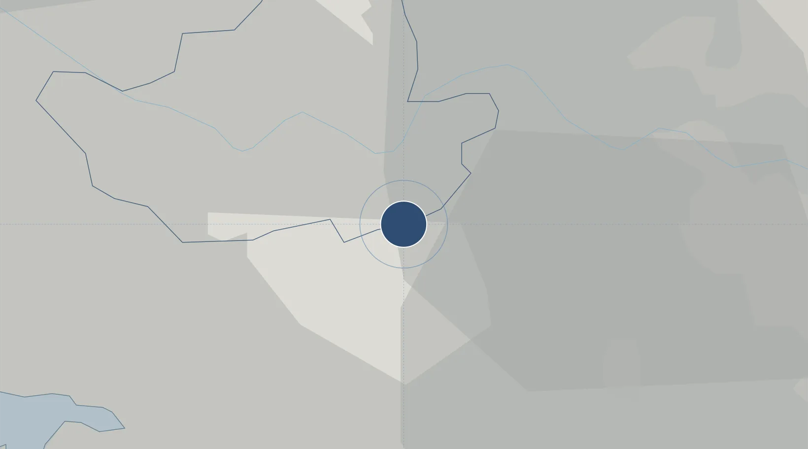
37.4447°, 127.1127°
9,700 ft
Longest runway
2
Runways
92 ft
Elevation

Runway & Layout

Seoul Air Base (K-16) runway & taxiway layout
Runway & taxiway layout — OpenStreetMap (ODbL) / OurAirports

Radio Frequencies

ATIS
136.95 MHz
TWR
126.2 MHz
GND
121.85 MHz
APP
123.8 MHz
DEP
121.15 MHz
ACP
120 MHz
BRICKWALL
GCA
136.8 MHz
PMSV
62.45 MHz
PTD
62.45 MHz
DRAGON OPS
OurAirports

Navaids

KSM VOR-DME Seoul 113.00 MHz
SOL TACAN Seoul 110.90 MHz
OurAirports

Runways · 2

RunwayDimensions SurfaceTrue headingLit
02/20 9,700 × 150ft Concrete 008°
01/19 9,000 × 150ft Concrete 359°
OurAirports

Airport Specifications

IATA code
SSN
OurAirports
ICAO code
RKSM
OurAirports
Airport class
Medium airport
OurAirports
Scheduled service
No
OurAirports
Runway surface
Concrete
OurAirports
Served city
Seongnam
OurAirports

Location

Location of RKSM
Natural Earth 10m (public domain) · Seoul · RKSM · 37.44, 127.11GoogleOSMYandex

Nearby Logistics Neighbours

Airports
  1. 1Suwon Airport25 km
  2. 2Gimpo International Airport31 km
  3. 3Osan Air Base40 km
  4. 4Camp Humphreys (A-511) Desiderio Army Airfield54 km
  5. 5Incheon International Airport59 km
Nearest neighbours — logibook spatial index (haversine) over the source coordinates
Cities
  1. 1Seongnam2 km
  2. 2Gwacheon12 km
  3. 3Hanam13 km
  4. 4Guri16 km
  5. 5Seoul16 km
Nearest neighbours — logibook spatial index (haversine) over the source coordinates
Ports
  1. 1Inchon44 km
  2. 2Pyeongtaek Hang57 km
  3. 3Daesan Hang79 km
  4. 4Haeju Hang139 km
  5. 5Sokch'o Hang155 km
Nearest neighbours — logibook spatial index (haversine) over the source coordinates
Trade Zones
  1. 1Pangyo Techno Valley5 km
  2. 2Seongnam General Industrial Complex6 km
  3. 3Godeok New International Industrial Complex14 km
  4. 4Seoul Digital National Industrial Complex21 km
  5. 5Hwaseong General Industrial Complex25 km
Nearest neighbours — logibook spatial index (haversine) over the source coordinates
DatabookThe Record of Consolidated Knowledge
South Korea beyond logistics?
Browse databook

All Sources

AirportsOurAirports
Public domain
Portsthe NGA World Port Index
Public domain (US gov)
LocationsUN/LOCODE
UN/LOCODE — free
Trade Zonesthe World Bank SEZ database
CC BY 4.0
Trade ZonesOpen Zone Map
CC BY
InfrastructureOpenStreetMap
ODbL 1.0
← South Korea airports