UN/LOCODE hub · South Korea
KRGMP

Gimpo

37.6167°, 126.6833°
3
Transport functions

Transport Functions

Rail
Road
Airport
UN/LOCODE

Hub Profile

Region
41
GeoNames

Location

Location of KRGMP
Natural Earth 10m (public domain) · 41 · KRGMP · 37.62, 126.68GoogleOSMYandex

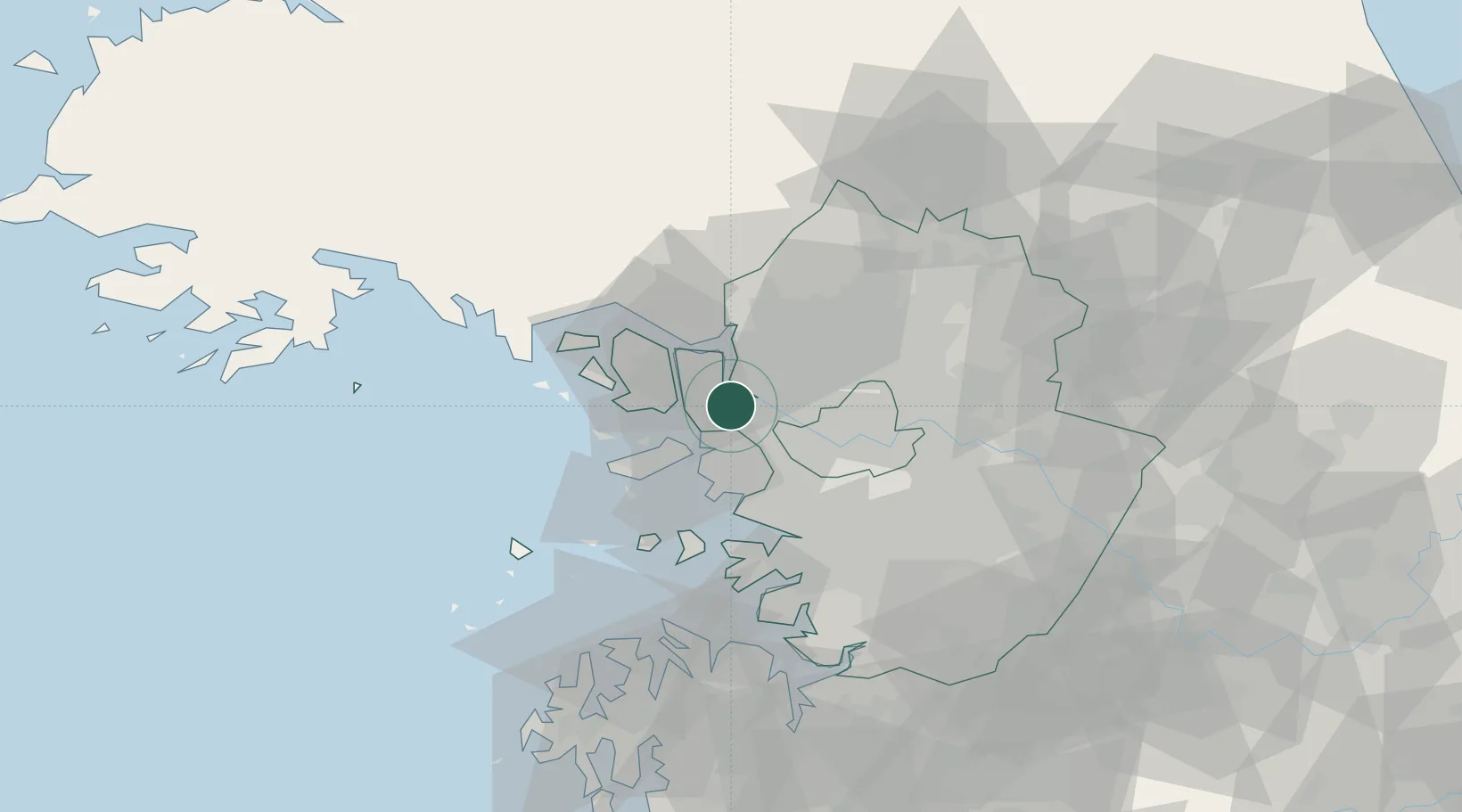
Nearby Logistics Neighbours

Cities
  1. 1Ilsan-dong10 km
  2. 2Gyeongin12 km
  3. 3Goyang12 km
  4. 4Bucheon14 km
  5. 5Dorasan/Paju17 km
Nearest neighbours — logibook spatial index (haversine) over the source coordinates
Ports
  1. 1Inchon18 km
  2. 2Pyeongtaek Hang69 km
  3. 3Daesan Hang71 km
  4. 4Haeju Hang96 km
  5. 5Kyomip'o155 km
Nearest neighbours — logibook spatial index (haversine) over the source coordinates
Airports
  1. 1Gimpo International Airport12 km
  2. 2Incheon International Airport26 km
  3. 3Seoul Air Base (K-16)42 km
  4. 4Suwon Airport51 km
  5. 5Osan Air Base66 km
Nearest neighbours — logibook spatial index (haversine) over the source coordinates
DatabookThe Record of Consolidated Knowledge
South Korea beyond logistics?
Browse databook

All Sources

LocationsUN/LOCODE
UN/LOCODE — free
Portsthe NGA World Port Index
Public domain (US gov)
AirportsOurAirports
Public domain
Trade Zonesthe World Bank SEZ database
CC BY 4.0
Trade ZonesOpen Zone Map
CC BY
← South Korea locations