UN/LOCODE hub · South Korea
KRINC
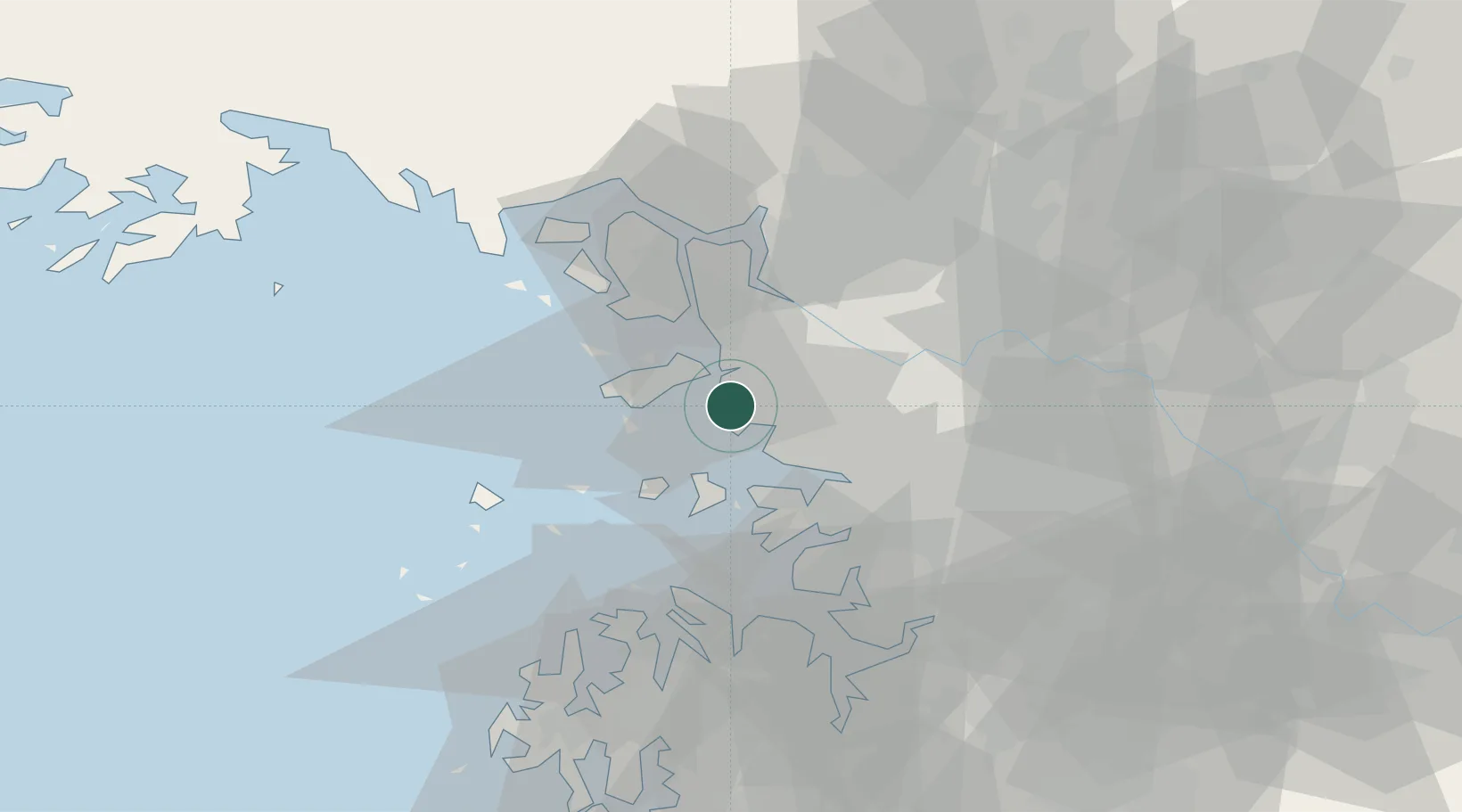
Incheon
37.4251°, 126.6246°
3,039,450
Population
3
Transport functions
4
Container terminals
Transport Functions
Port
Rail
Road
Hub Profile
Place type
Regional capital
Region
Incheon
Population
3,039,450
Time zone
Asia/Seoul
Elevation
43 m
Logistics facilities
35
Container terminals
4
Location
Nearby Logistics Neighbours
Cities
- 1Gyeongin12 km
- 2Bucheon14 km
- 3Siheung17 km
- 4Gwangmyeong20 km
- 5Ansan21 km
Ports
- 1Daesan Hang50 km
- 2Pyeongtaek Hang50 km
- 3Haeju Hang103 km
- 4Kunsan160 km
- 5Kyomip'o170 km
Airports
- 1Incheon International Airport16 km
- 2Gimpo International Airport21 km
- 3Suwon Airport40 km
- 4Seoul Air Base (K-16)43 km
- 5Osan Air Base52 km
DatabookThe Record of Consolidated Knowledge
South Korea beyond logistics?