Large airport · South Korea
Gimpo International AirportRKSS
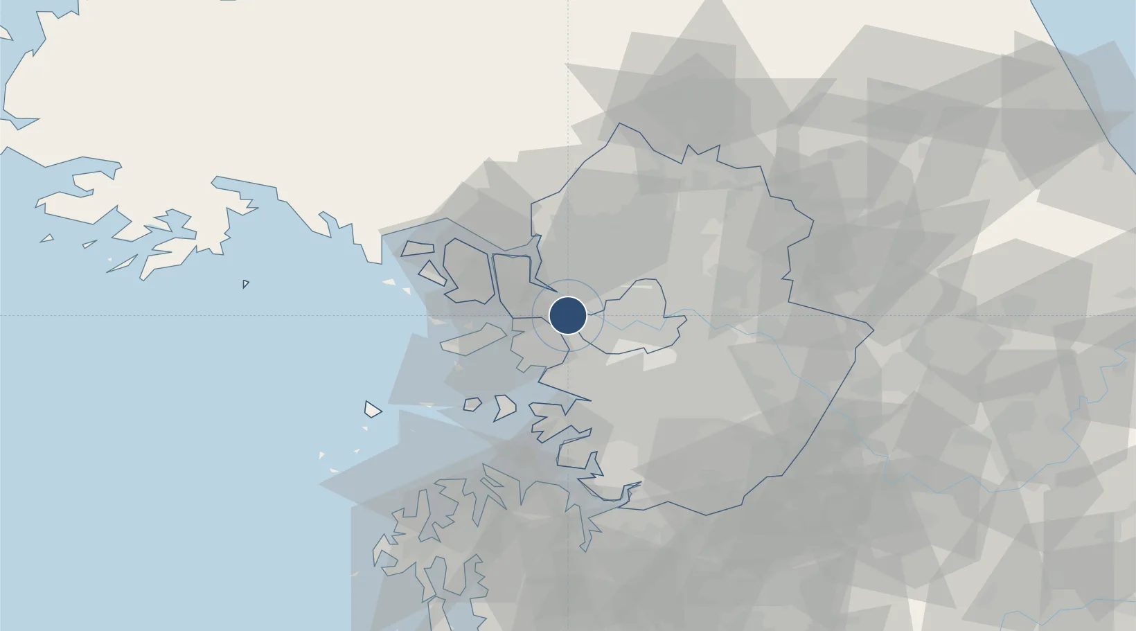
37.5583°, 126.7910°
11,811 ft
Longest runway
2
Runways
59 ft
Elevation
Runway & Layout

Radio Frequencies
ATIS
126.4 MHz
TWR
118.1 MHz
GND
121.9 MHz
CLD
122.6 MHz
CLNC DEL
APP
120.8 MHz
SEOUL APP
DEP
125.15 MHz
SEOUL DEP
A/G
127.1 MHz
SEOUL RDO
A/G
1330.3 MHz
SEOUL RDO
ACP
120 MHz
BRICKWALL
Navaids
KIP VOR-DME Gimpo 113.60 MHz
SEL VORTAC Anyang 115.50 MHz
YJU VOR-DME Yangju 114.90 MHz
Runways · 2
| Runway | Dimensions | Surface | True heading | Lit |
|---|---|---|---|---|
| 14L/32R | 11,811 × 148ft | Asphalt | 135° | ✓ |
| 14R/32L | 10,499 × 197ft | Asphalt | 135° | ✓ |
Airport Specifications
IATA code
GMP
ICAO code
RKSS
Airport class
Large airport
Scheduled service
Yes
Runway surface
Asphalt
Served city
Seoul
Location
Nearby Logistics Neighbours
Airports
Cities
- 1Bucheon7 km
- 2Goyang10 km
- 3Gwangmyeong11 km
- 4Gimpo12 km
- 5Ilsan-dong14 km
Ports
- 1Inchon18 km
- 2Pyeongtaek Hang62 km
- 3Daesan Hang70 km
- 4Haeju Hang108 km
- 5Kyomip'o166 km
DatabookThe Record of Consolidated Knowledge
South Korea beyond logistics?