Industrial Complex · South Korea
Incheon General Industrial Complex
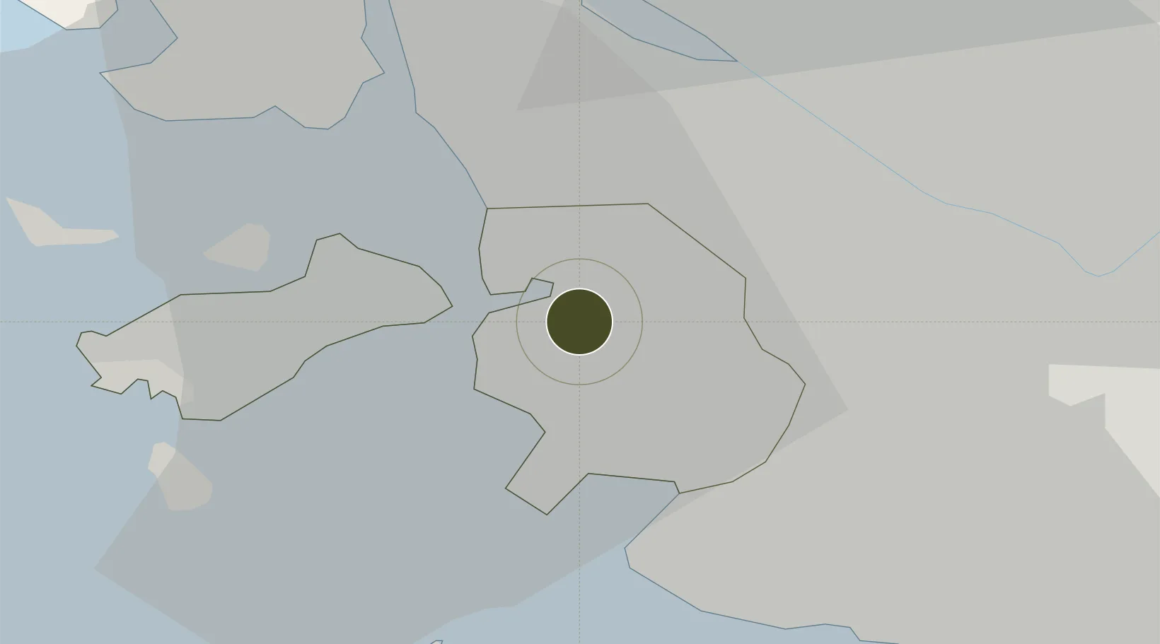
37.4806°, 126.6597°
114 ha
Zone area
4.1 km
Nearest port
14.4 km
Nearest airport
Gateway access
Zone profile
Zone type
Industrial Complex
Region
Incheon
Established
1973
Management
State-owned enterprise
Operator
Incheon General Industrial Complex Corp.
Regulatory authority
National, provincial or city-level governments
Legal framework
Industrial Sites and Development Act, and the Industrial Placement and Factory Act
Location
Fiscal & incentives
Corporate tax
22%
Tax relief
100% exempt
Relief duration
5 years
VAT
No exemption
Import duty (inputs)
0% exempt
Import duty (capex)
100% exempt
Profit repatriation
No exemption
Capital gains
No exemption
Withholding tax
No exemption
Min. investment
$30M
Min. export
0%
Employment incentive
Employment and training subsidies available to companies that newly employ 20 more individuals
Developer incentive
No established framework
Nearby Logistics Neighbours
Ports
- 1Inchon4 km
- 2Pyeongtaek Hang55 km
- 3Daesan Hang57 km
- 4Haeju Hang102 km
- 5Kyomip'o167 km
Airports
- 1Gimpo International Airport14 km
- 2Incheon International Airport19 km
- 3Seoul Air Base (K-16)40 km
- 4Suwon Airport41 km
- 5Osan Air Base54 km
Cities
- 1Incheon7 km
- 2Gyeongin8 km
- 3Bucheon8 km
- 4Gimpo15 km
- 5Gwangmyeong17 km
DatabookThe Record of Consolidated Knowledge
South Korea beyond logistics?