Medium airport · South Korea
Osan Air BaseRKSO
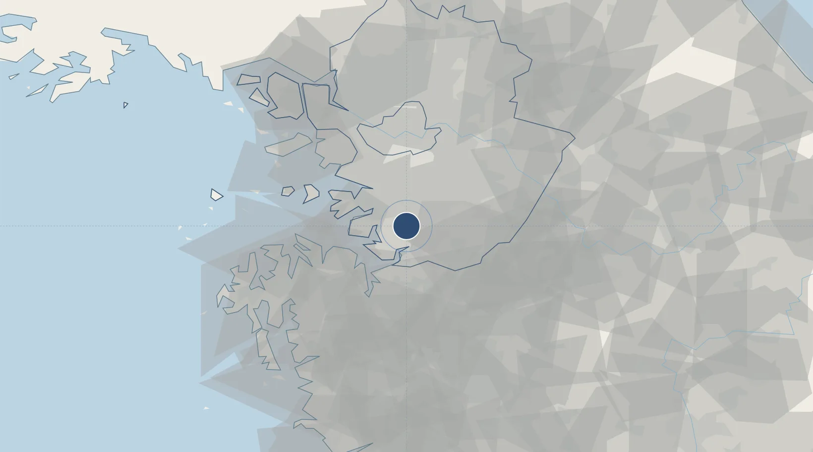
37.0915°, 127.0294°
9,004 ft
Longest runway
2
Runways
38 ft
Elevation
Runway & Layout

Radio Frequencies
ATIS
132.125 MHz
TWR
122.1 MHz
GND
132.45 MHz
CLD
127.3 MHz
CLNC DEL
APP
127.9 MHz
DEP
127.9 MHz
PMSV
34.65 MHz
PMSV METRO
PTD
120.7 MHz
Navaids
OSN VORTAC Osan 114.70 MHz
Runways · 2
| Runway | Dimensions | Surface | True heading | Lit |
|---|---|---|---|---|
| 09L/27R | 9,004 × 150ft | Concrete | 084° | ✓ |
| 09R/27L | 9,004 × 150ft | Concrete | 084° | ✓ |
Airport Specifications
IATA code
OSN
ICAO code
RKSO
Airport class
Medium airport
Scheduled service
No
Runway surface
Concrete
Served city
Pyeongtaek
Location
Nearby Logistics Neighbours
Airports
Cities
- 1Songtan3 km
- 2Suwon19 km
- 3Hwaseong22 km
- 4Pyeongtaek22 km
- 5Anseong23 km
Ports
- 1Pyeongtaek Hang23 km
- 2Inchon55 km
- 3Daesan Hang57 km
- 4Kunsan129 km
- 5Haeju Hang155 km
DatabookThe Record of Consolidated Knowledge
South Korea beyond logistics?