Transport Functions
Rail
Road
Hub Profile
Region
41
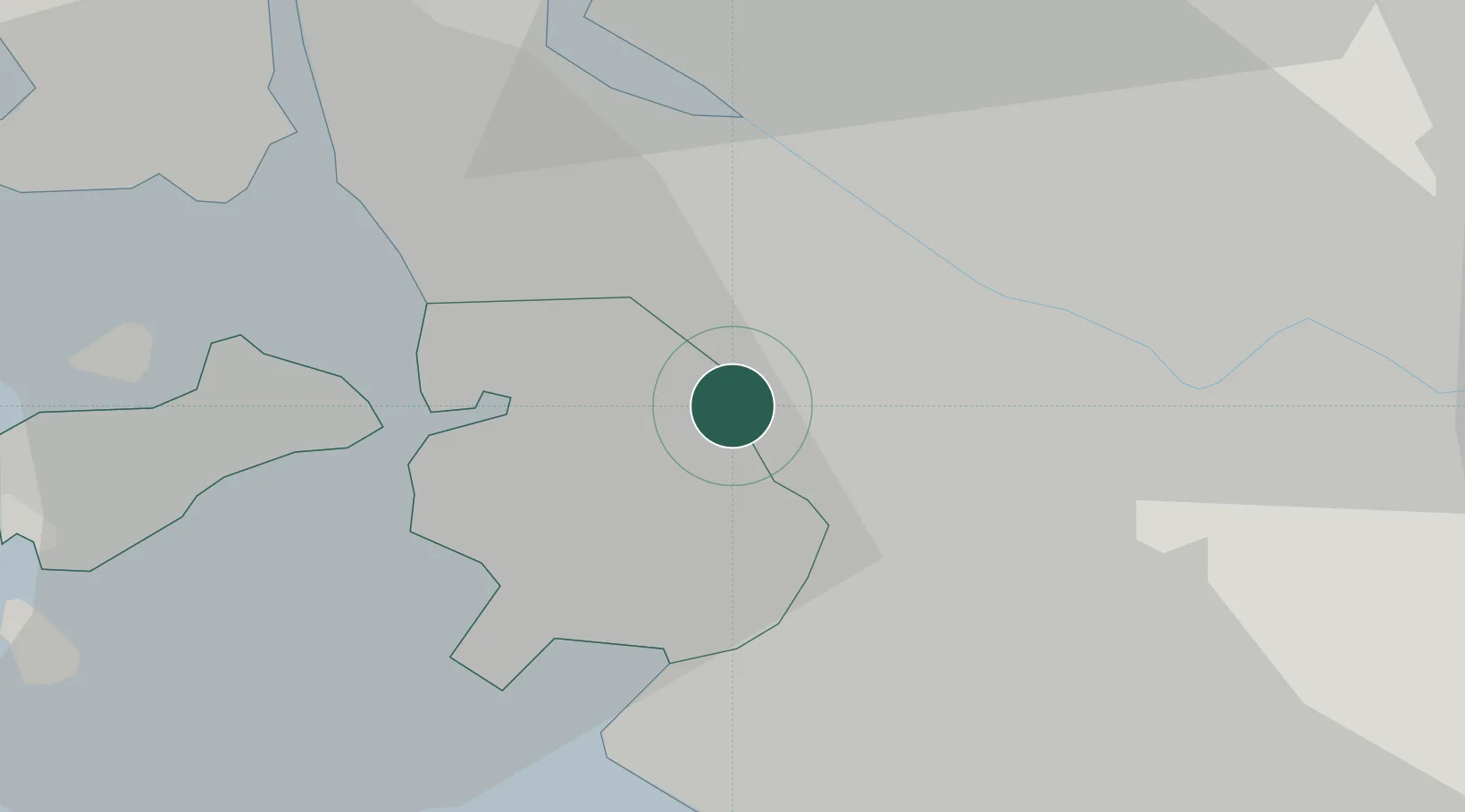
Location
Nearby Logistics Neighbours
Cities
- 1Gwangmyeong10 km
- 2Gyeongin14 km
- 3Incheon14 km
- 4Gimpo14 km
- 5Siheung16 km
Ports
- 1Inchon12 km
- 2Pyeongtaek Hang56 km
- 3Daesan Hang62 km
- 4Haeju Hang108 km
- 5Kunsan169 km
Airports
- 1Gimpo International Airport7 km
- 2Incheon International Airport27 km
- 3Seoul Air Base (K-16)33 km
- 4Suwon Airport37 km
- 5Osan Air Base52 km
DatabookThe Record of Consolidated Knowledge
South Korea beyond logistics?