UN/LOCODE hub · Japan
JPKFK

Aki, Kochi

33.5000°, 133.9000°
1
Transport functions

Transport Functions

Multimodal
UN/LOCODE

Hub Profile

Region
39
GeoNames

Location

Location of JPKFK
Natural Earth 10m (public domain) · 39 · JPKFK · 33.50, 133.90GoogleOSMYandex

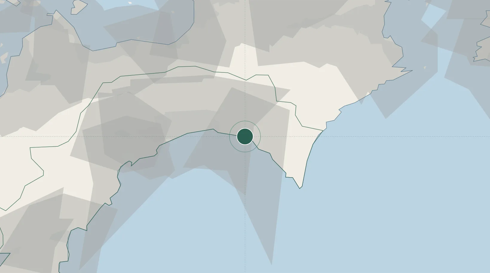
Nearby Logistics Neighbours

Cities
  1. 1Kochi29 km
  2. 2Tosa, Kochi43 km
  3. 3Ino44 km
  4. 4Miyoshi, Tokushima58 km
  5. 5Shikokuchuo63 km
Nearest neighbours — logibook spatial index (haversine) over the source coordinates
Ports
  1. 1Kochi Ko31 km
  2. 2Susaki Ko57 km
  3. 3Mishima-Kawanoe Ko64 km
  4. 4Niihama78 km
  5. 5Tachibana82 km
Nearest neighbours — logibook spatial index (haversine) over the source coordinates
Airports
  1. 1Kochi Ryoma Airport22 km
  2. 2Takamatsu Airport80 km
  3. 3Tokushima Awaodori Airport / JMSDF Tokushima Air Base96 km
  4. 4Matsuyama Airport117 km
  5. 5Nanki Shirahama Airport137 km
Nearest neighbours — logibook spatial index (haversine) over the source coordinates
DatabookThe Record of Consolidated Knowledge
Japan beyond logistics?
Browse databook

All Sources

LocationsUN/LOCODE
UN/LOCODE — free
Portsthe NGA World Port Index
Public domain (US gov)
AirportsOurAirports
Public domain
Trade Zonesthe World Bank SEZ database
CC BY 4.0
Trade ZonesOpen Zone Map
CC BY
← Japan locations