Specialized Zone · Japan
Takamatsu Compact Eco-City Special Zone Inactive
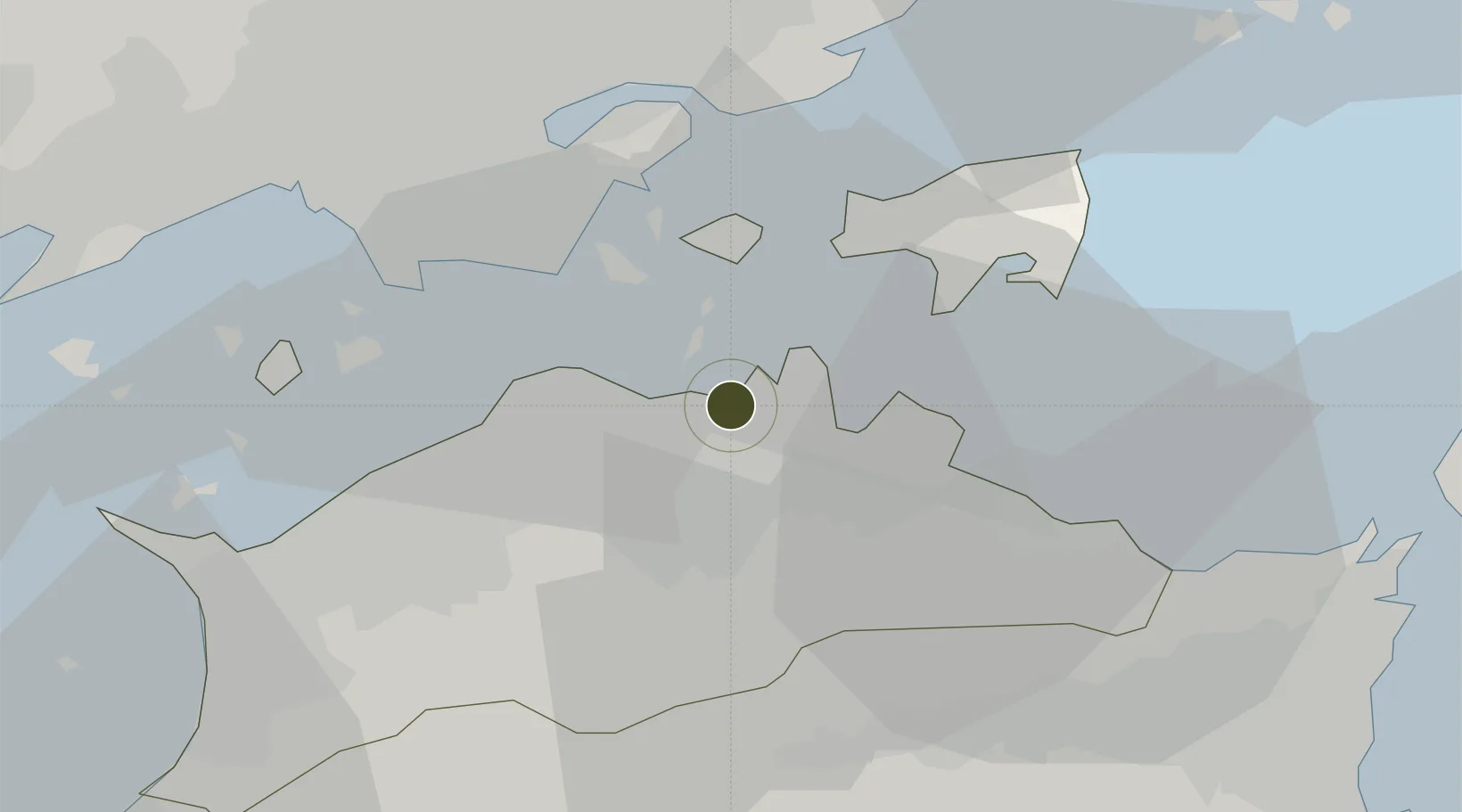
34.3434°, 134.0789°
37,541 ha
Zone area
2.8 km
Nearest port
15.4 km
Nearest airport
Gateway access
Zone profile
Zone type
Specialized Zone
Specialization
Biotech
Region
Kagawa
Status
Inactive
Management
Public
Operator
Takamatsu City
Legal framework
Comprehensive Special Zone Law (Law No. 81 of 2011)
Location
Nearby Logistics Neighbours
Ports
- 1Takamatsu3 km
- 2Hibi Ko18 km
- 3Uno Ko20 km
- 4Sakaide Ko21 km
- 5Marugame Ko28 km
Airports
Cities
- 1Takamatsu2 km
- 2Sanuki9 km
- 3Ayagawa17 km
- 4Setouchi36 km
- 5Kamiita, Tokushima39 km
Trade Zones
- 1Kagawa Medical Welfare General Special Zone28 km
- 2Okayama-type Sustainable Socio-Economic Model Construction Comprehensive Special Zone38 km
- 3Hyper & Green Innovation Mizushima Complex General Special Zone38 km
- 4Tokushima life innovation Comprehensive Special Zone48 km
- 5Hiroshima Environmental Tourism Model Urban Development Promotion Special Zone72 km
DatabookThe Record of Consolidated Knowledge
Japan beyond logistics?