Seaport · Japan
Mishima-Kawanoe KoJPMKX
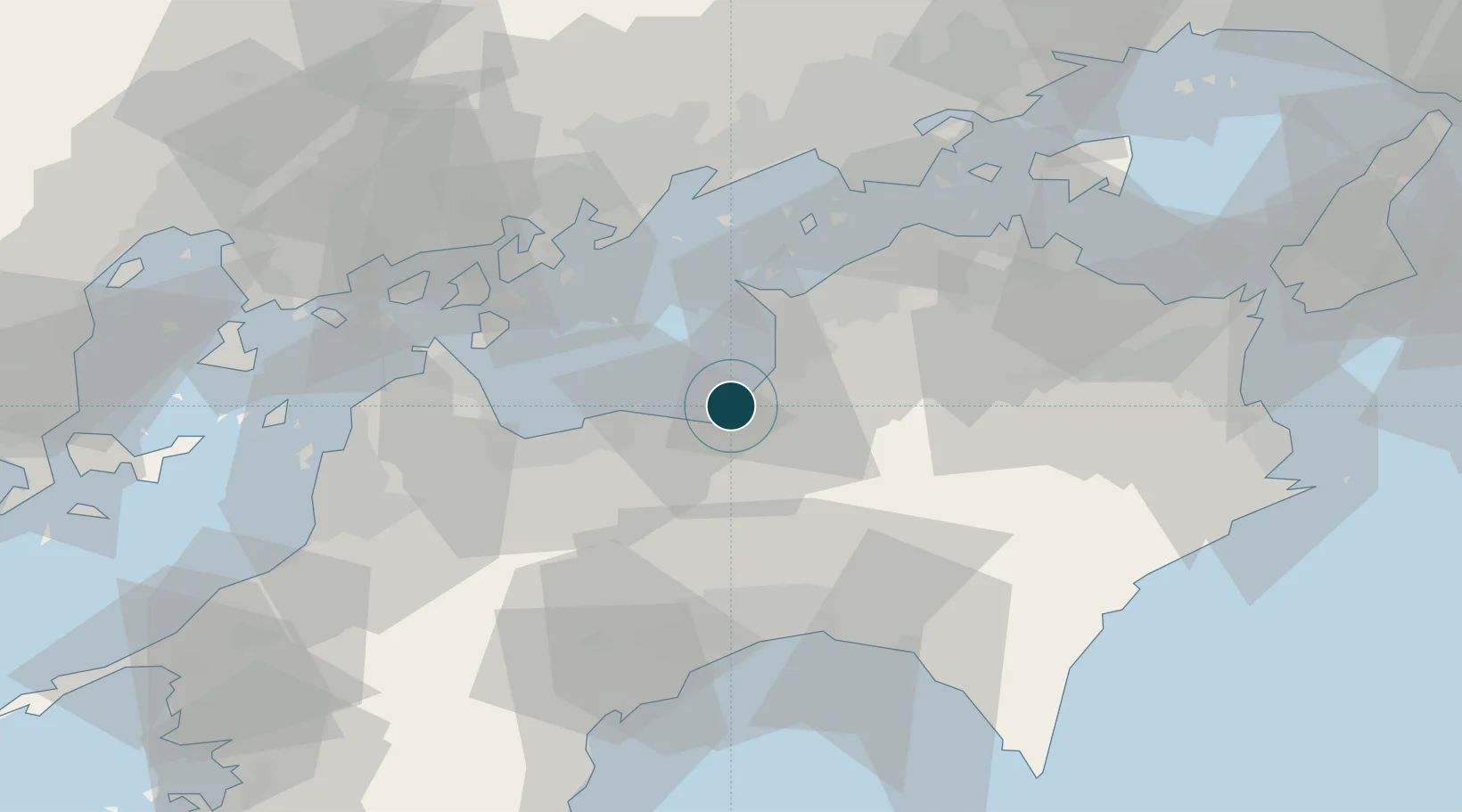
34.0000°, 133.5500°
9.4 m
Channel depth
2
Container terminals
14.3
Port liner connectivity
Channel & Berth Profile
Pilotage, Tugs & Services
Pilotage compulsoryNO
Pilotage availableYES
Tug assistanceYES
Potable waterYES
MedicalYES
Facilities & Capabilities
Container—
Ro-Ro—
Liquid bulk—
Dry bulk—
Oil terminal—
Break bulk—
Dry dock—
RepairsNO
BunkeringYES
Rail linkYES
Dangerous cargo—
ISPS security—
Harbour Specifications
Harbour size
Small
Harbour type
Coastal (Natural)
Shelter
Fair
Water body
Sea of Japan; North Pacific Ocean
Tidal range
4 m
Overhead limit
Yes
Pilotage
No
Liner Connectivity
14.3
PLSCI
Port Liner Shipping Connectivity Index for Mishima-Kawanoe Ko, as published by UNCTAD for the latest available quarter. Higher values indicate stronger scheduled liner-shipping integration.
Shown relative to the highest per-port PLSCI in the dataset (1,657.9).
Location
Container Terminals · 2
KANEKO INTERNATIONAL CONTAINER TERMINAL
KNCT SHIKOKUCHUO PUBLIC WORKS OFFICE
MURAMATSU BERTH NO. 8
MM8 SHIKOKUCHUO PUBLIC WORKS OFFICE
Nearby Logistics Neighbours
Ports
- 1Niihama25 km
- 2Takuma27 km
- 3Marugame Ko40 km
- 4Habu Ko46 km
- 5Sakaide Ko46 km
Cities
- 1Iyomishima1 km
- 2Shikokuchuo2 km
- 3Mitoyo, Kagawa22 km
- 4Niihama22 km
- 5Miyoshi, Tokushima23 km
Airports
- 1Takamatsu Airport49 km
- 2Kochi Ryoma Airport52 km
- 3Hiroshima Airport76 km
- 4Matsuyama Airport81 km
- 5Okayama Momotaro Airport89 km
Trade Zones
- 1Saijō Agricultural Innovation City General Special Zone36 km
- 2Kagawa Medical Welfare General Special Zone39 km
- 3Hiroshima Environmental Tourism Model Urban Development Promotion Special Zone55 km
- 4Hyper & Green Innovation Mizushima Complex General Special Zone59 km
- 5Takamatsu Compact Eco-City Special Zone62 km
DatabookThe Record of Consolidated Knowledge
Japan beyond logistics?