UN/LOCODE hub · Japan
JPKCZ
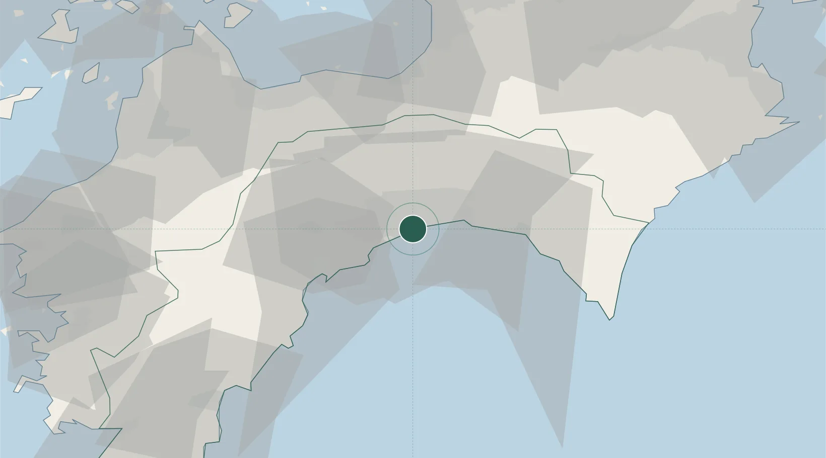
Kochi
33.5110°, 133.5851°
332,059
Population
2
Transport functions
2
Container terminals
Transport Functions
Port
Airport
Hub Profile
Place type
Regional capital
Region
Kochi
Population
332,059
Time zone
Asia/Tokyo
Elevation
58 m
Logistics facilities
4
Container terminals
2
Location
Nearby Logistics Neighbours
Cities
- 1Tosa, Kochi14 km
- 2Ino15 km
- 3Aki, Kochi29 km
- 4Shikokuchuo53 km
- 5Iyomishima54 km
Ports
- 1Susaki Ko30 km
- 2Mishima-Kawanoe Ko55 km
- 3Niihama60 km
- 4Takuma79 km
- 5Imabari Ko81 km
Airports
- 1Kochi Ryoma Airport9 km
- 2Takamatsu Airport88 km
- 3Matsuyama Airport89 km
- 4Tokushima Awaodori Airport / JMSDF Tokushima Air Base117 km
- 5Hiroshima Airport120 km
Trade Zones
- 1Saijō Agricultural Innovation City General Special Zone61 km
- 2Kagawa Medical Welfare General Special Zone89 km
- 3Tokushima life innovation Comprehensive Special Zone100 km
- 4Takamatsu Compact Eco-City Special Zone103 km
- 5Hiroshima Environmental Tourism Model Urban Development Promotion Special Zone108 km
DatabookThe Record of Consolidated Knowledge
Japan beyond logistics?