UN/LOCODE hub · Japan
JPSGM
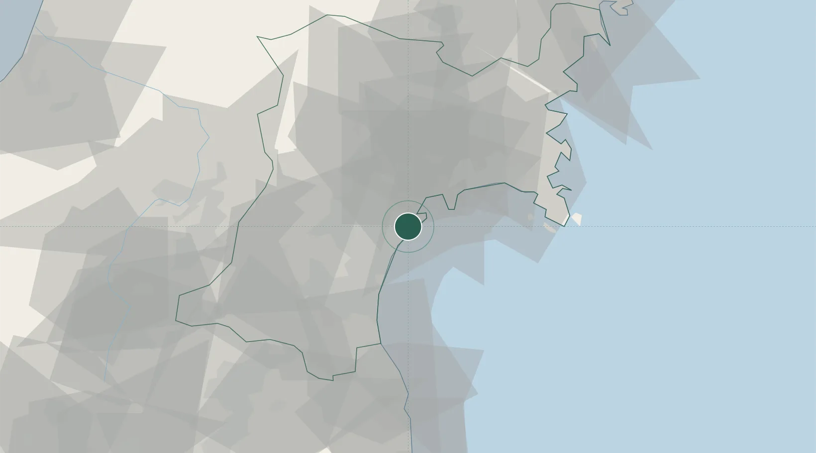
Sendaishiogama
38.2678°, 141.0208°
1
Transport functions
1
Container terminals
Transport Functions
Port
Hub Profile
Region
04
Logistics facilities
1
Container terminals
1
Location
Nearby Logistics Neighbours
Cities
- 1Sendai, Miyagi0 km
- 2Tomiya18 km
- 3Tome-Shi48 km
- 4Sagae67 km
- 5Takahata, Yamagata79 km
Ports
- 1Ishinomaki Ko30 km
- 2Onagawa43 km
- 3Soma49 km
- 4Kesennuma Ko84 km
- 5Ofunato107 km
Airports
- 1Sendai Airport17 km
- 2JASDF Matsushima Air Base23 km
- 3Yamagata Airport59 km
- 4Shonai Airport123 km
- 5Fukushima Airport127 km
DatabookThe Record of Consolidated Knowledge
Japan beyond logistics?