Transport Functions
Multimodal
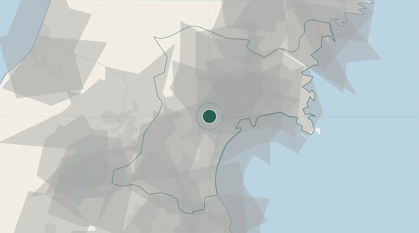
Hub Profile
Place type
Populated place
Region
Miyagi
Population
52,433
Time zone
Asia/Tokyo
Elevation
64 m
Location
Nearby Logistics Neighbours
Cities
- 1Sendaishiogama18 km
- 2Sendai, Miyagi18 km
- 3Tome-Shi46 km
- 4Sagae54 km
- 5Takahata, Yamagata75 km
Ports
- 1Sendai-Shiogama15 km
- 2Ishinomaki Ko38 km
- 3Onagawa50 km
- 4Soma61 km
- 5Kesennuma Ko82 km
Airports
- 1Sendai Airport27 km
- 2JASDF Matsushima Air Base29 km
- 3Yamagata Airport45 km
- 4Shonai Airport107 km
- 5Iwate Hanamaki Airport118 km
DatabookThe Record of Consolidated Knowledge
Japan beyond logistics?