Transport Functions
Port
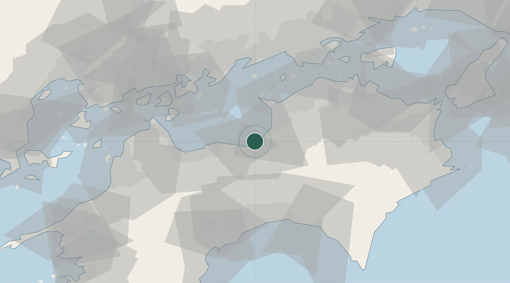
Hub Profile
Region
38
Logistics facilities
5
Location
Nearby Logistics Neighbours
Cities
- 1Mishima, Kawanoe0 km
- 2Shikokuchuo2 km
- 3Niihama22 km
- 4Mitoyo, Kagawa22 km
- 5Miyoshi, Tokushima24 km
Ports
- 1Mishima-Kawanoe Ko1 km
- 2Niihama24 km
- 3Takuma28 km
- 4Marugame Ko40 km
- 5Habu Ko46 km
Airports
- 1Takamatsu Airport50 km
- 2Kochi Ryoma Airport52 km
- 3Hiroshima Airport75 km
- 4Matsuyama Airport80 km
- 5Okayama Momotaro Airport89 km
Trade Zones
- 1Saijō Agricultural Innovation City General Special Zone35 km
- 2Kagawa Medical Welfare General Special Zone40 km
- 3Hiroshima Environmental Tourism Model Urban Development Promotion Special Zone56 km
- 4Hyper & Green Innovation Mizushima Complex General Special Zone60 km
- 5Takamatsu Compact Eco-City Special Zone63 km
DatabookThe Record of Consolidated Knowledge
Japan beyond logistics?