Diversified Zone · Japan
Hyper & Green Innovation Mizushima Complex General Special Zone Active
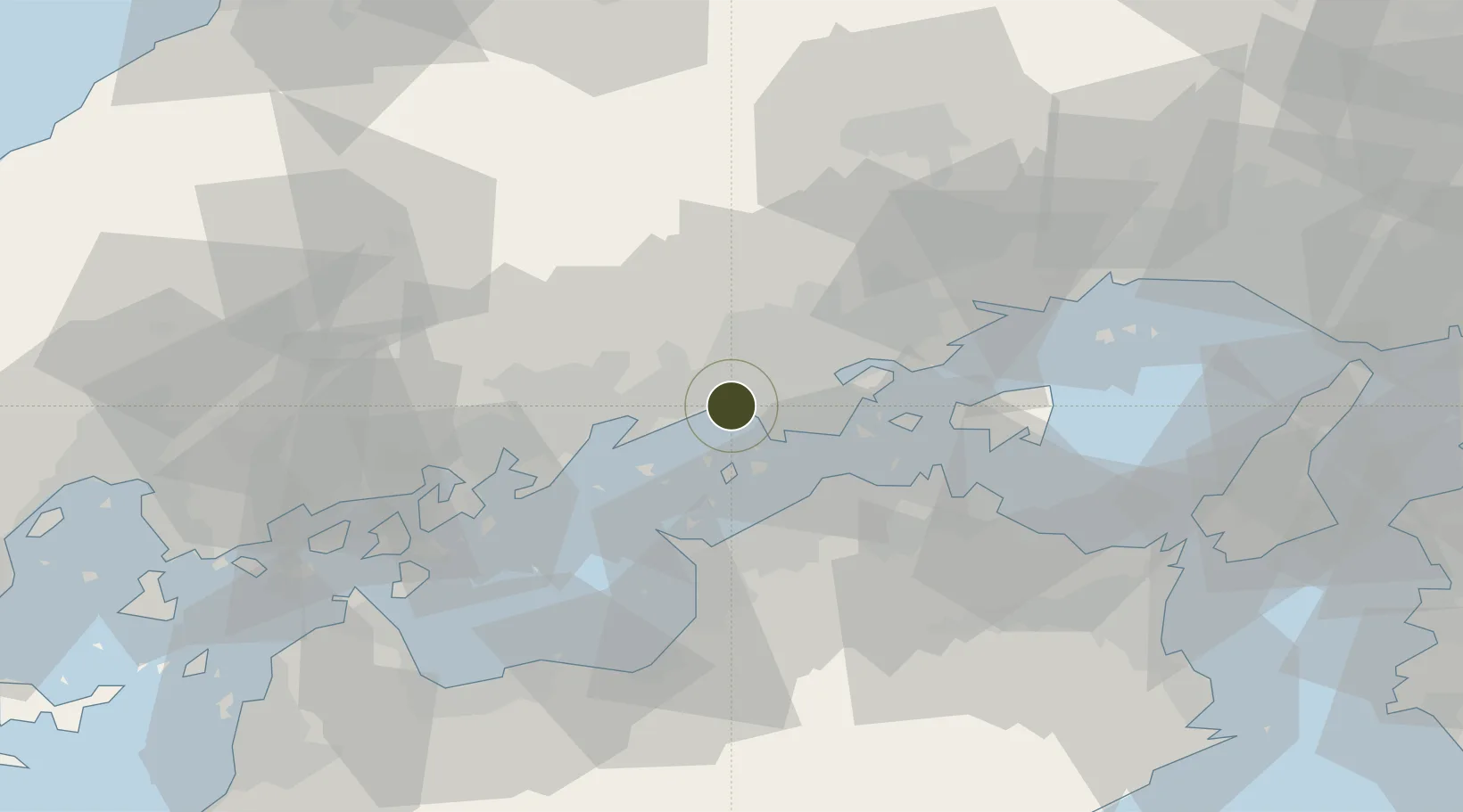
34.5121°, 133.7138°
7,139 ha
Zone area
3.6 km
Nearest port
30.1 km
Nearest airport
Gateway access
Zone profile
Zone type
Diversified Zone
Region
Kagawa
Status
Active
Management
Public-Private Partnership
Operator
Mizushima Complex Development Promotion Council
Legal framework
National Mizushima Complex Comprehensive Special Zone Regional Revitalization Policy
Location
Nearby Logistics Neighbours
Ports
- 1Mizushima Ko4 km
- 2Hibi Ko21 km
- 3Uno Ko22 km
- 4Sakaide Ko24 km
- 5Marugame Ko24 km
Airports
Cities
- 1Mizushima3 km
- 2Tamashima4 km
- 3Asakuchi12 km
- 4Soja, Okayama18 km
- 5Ayagawa21 km
Trade Zones
- 1Kagawa Medical Welfare General Special Zone25 km
- 2Okayama-type Sustainable Socio-Economic Model Construction Comprehensive Special Zone25 km
- 3Hiroshima Environmental Tourism Model Urban Development Promotion Special Zone38 km
- 4Takamatsu Compact Eco-City Special Zone38 km
- 5Onomichi Regional Medical Cooperation Promotion Special Zone63 km
DatabookThe Record of Consolidated Knowledge
Japan beyond logistics?