Seaport · Japan
Hamada KoJPHMD
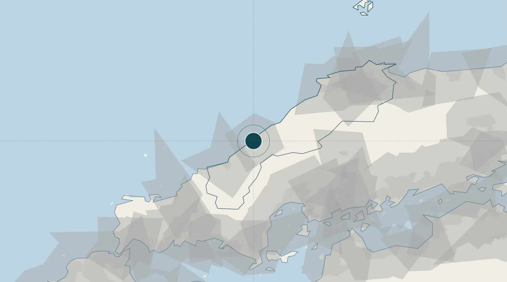
34.9000°, 132.0833°
7.9 m
Channel depth
1
Container terminals
19.0
Port liner connectivity
Channel & Berth Profile
Pilotage, Tugs & Services
Pilotage compulsoryNO
Pilotage availableYES
Tug assistanceYES
Salvage tugsNO
Potable waterYES
Diesel bunkersYES
MedicalYES
Facilities & Capabilities
Container—
Ro-Ro—
Liquid bulk—
Dry bulk—
Oil terminal—
Break bulk—
Dry dockNO
RepairsNO
BunkeringYES
Rail link—
Dangerous cargo—
ISPS security—
Harbour Specifications
Harbour size
Very Small
Harbour type
Coastal (Breakwater)
Shelter
Good
Water body
Sea of Japan; North Pacific Ocean
Tidal range
1 m
Pilotage
No
Liner Connectivity
19
PLSCI
Port Liner Shipping Connectivity Index for Hamada Ko, as published by UNCTAD for the latest available quarter. Higher values indicate stronger scheduled liner-shipping integration.
Shown relative to the highest per-port PLSCI in the dataset (1,657.9).
Location
Container Terminals · 1
HAMADA CONTAINER TERMINAL
HAFKF HAMADA PORT AUTHORITY
Nearby Logistics Neighbours
Ports
- 1Hiroshima71 km
- 2Iwakuni Ko81 km
- 3Hagi Ko82 km
- 4Kure86 km
- 5Kanokawa Ko86 km
Cities
- 1Hiroshima71 km
- 2Aki-gun/Hiroshima75 km
- 3Otake77 km
- 4Iwakuni81 km
- 5Unnan86 km
Airports
- 1Iwami Airport37 km
- 2Iwakuni Kintaikyo Airport85 km
- 3Hiroshima Airport92 km
- 4Izumo Enmusubi Airport93 km
- 5JASDF Hofu Airfield108 km
Trade Zones
- 1Morisato Kairenkan Takatsu River Basin Hometown Concept Special Zone33 km
- 2Hiroshima Prefecture Imabari City National Strategic Special Zone67 km
- 3Tatara Satoyama Regeneration Special Zone87 km
- 4Onomichi Regional Medical Cooperation Promotion Special Zone102 km
- 5Yamaguchi Next-Generation Agricultural Production Structure Establishment Special Zone105 km
DatabookThe Record of Consolidated Knowledge
Japan beyond logistics?